


ORLANDO, Fla. — It was a very active Sunday across Central Florida, with numerous strong to severe storms across the area.
- LINK: Check power outages in your area
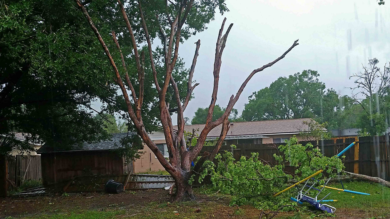
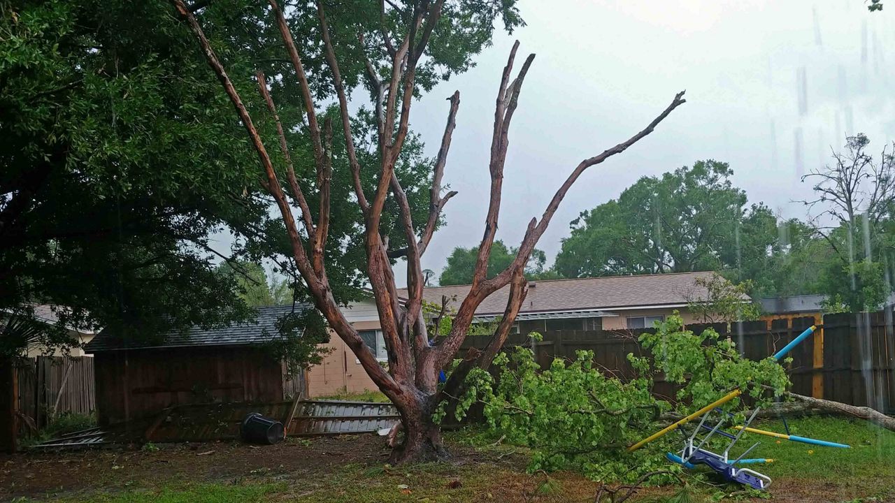
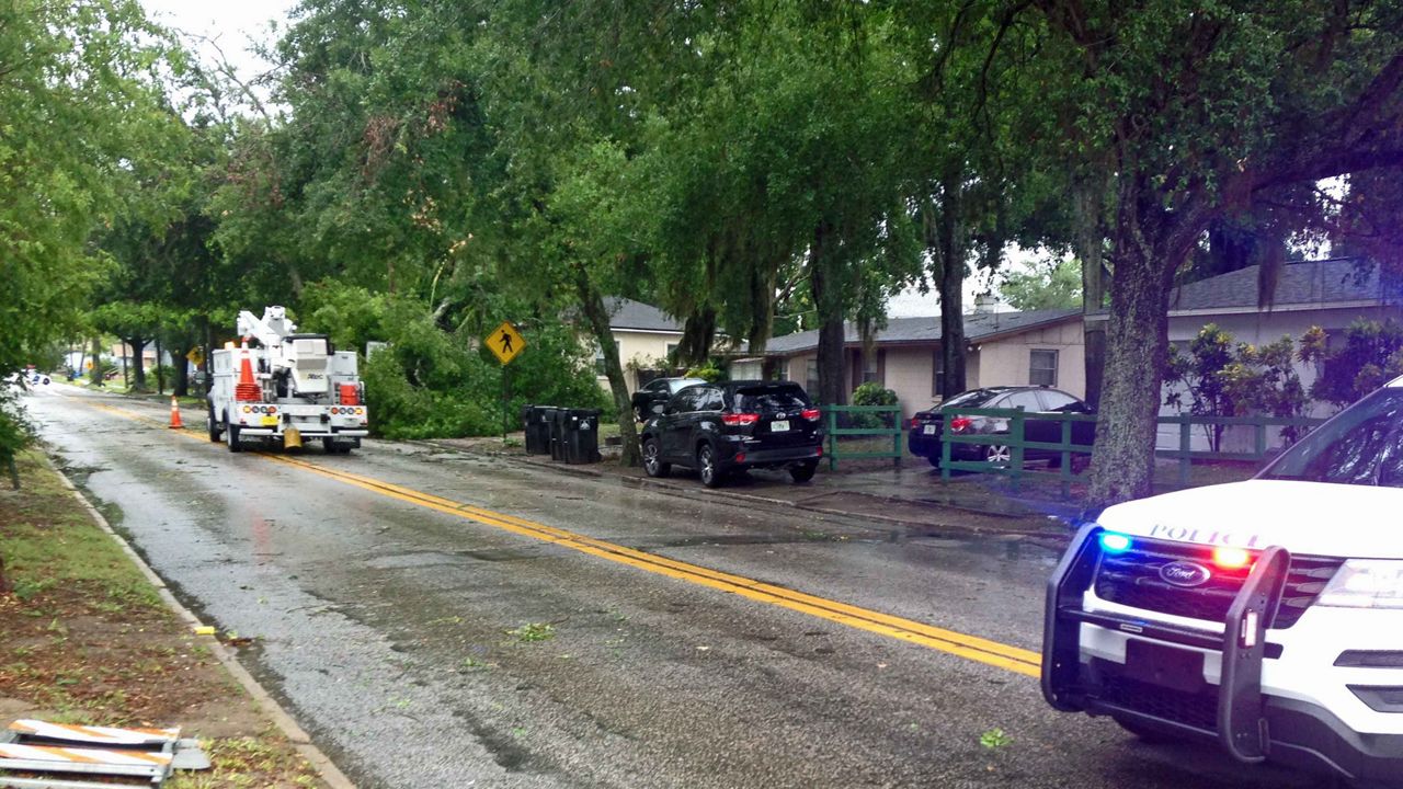
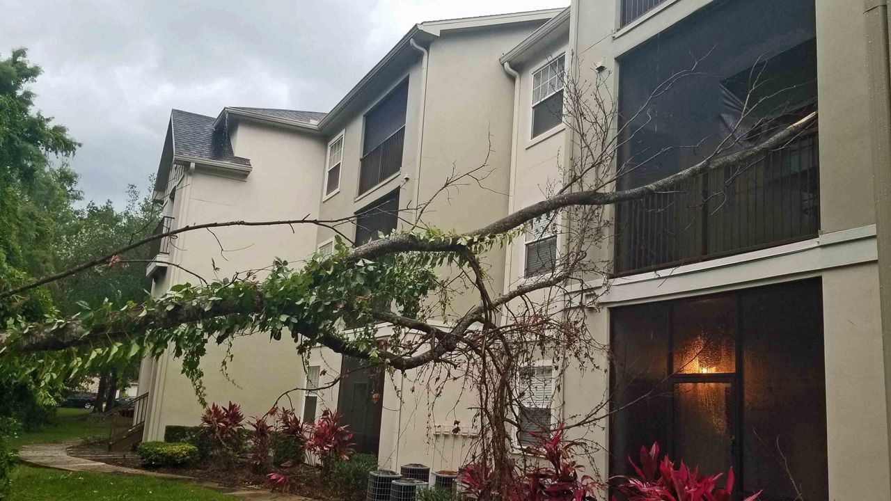
- Weather-related damage reported across Orange County
- Send us your weather photos via the Spectrum News 13 app
- CURRENT CONDITIONS: Temperatures, heat indexes, trends
- SEE BELOW: See our 7-day forecast ▼
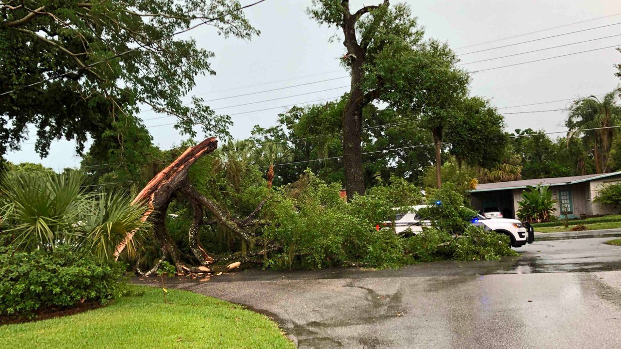
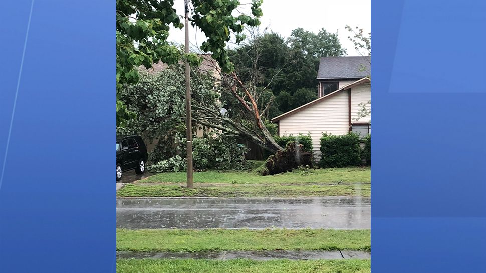
Severe thunderstorm swept across Lake, Sumter, Seminole, Orange, Osceola, Brevard, Flagler, and Volusia counties.
There were also several reports of storm-related damage, such as wires down, water damage, and trees down.
Sunday afternoon, Duke Energy reported almost 20,000 customers were experiencing power outages in Lake, Marion, Orange, Osceola, Polk, Seminole, Sumter, and Volusia counties.
As of 9:30 p.m. Sunday night, Duke Energy said over 4,000 customers were still without power.
Check out our power outages map for updates in your area.
Damage in Marion County
In Marion County, major storm damage occurred near Highway 40 and 100th Avenue Sunday.
Power crews were busy fixing down power lines Sunday afternoon and crews will be busy cleaning up the mess from down trees.
Marty Williams’ property got some of the worst damage.
“You see the all the broken trees out in the field, and it took this path right through our property and demolished every tree in its path,” Williams said.
Trees uprooted -- one landing on the roof -- and a trampoline destroyed Williams’ property.
“I came out the door and tried to make it to the house and right there where my trailer is at got I hit,” William said, who was hit with a branch in the neck, knocking him down.
“It picked up air and crashed over there, and the other was sitting here and moved it,” said Zylo, who was concerned for his horses.
There were no injuries, and none of the horses were hurt, but it will be big cleanup effort for Zylo, Williams, and others living near highway 100 and S.R. 40.
Elsewhere
An isolated shower will still be possible overnight, with warm lows in the upper 60s and low 70s.
Rain chances continue heading into Monday. Some morning activity will be possible, but the better chance for showers and storms will be in the afternoon.
Coverage will be much lower than Sunday, with rain chances at 30 percent. Highs for Sunday will be in the upper 80s to low 90s.
Tuesday looks to be the quietest day of the next several. Skies will be mostly to partly sunny on Tuesday. It will still be hot and humid. Highs will reach near 90 degrees after beginning in the upper 60s and lower 70s.
- View LIVE Interactive StormTracker 13 Radar Map
- View our LIVE Sky 13 Weather Cameras
- Sign up for Severe Weather Alerts
The rain chances start to slowly build back into the forecast for Wednesday and Thursday. The coverage will be low and at 20 percent for mid-week with the warm temperatures holding on each day.
Rain chances continue to ramp back up by week’s end into next weekend. Friday and Saturday look to be the most active for afternoon and evening storms.
Highs will continue to be in the upper 80s with morning temperatures starting out in the upper 60s and lower 70s.
There will still be the chance for rain this upcoming Sunday on Mother’s Day. Highs will be in the lower 90s.
SURF FORECAST
Boaters should again be aware of PM storms for Monday, with seas 3-4 feet. Surfers will have poor conditions, with a lingering east-southeasterly swell. The rip current will be moderate for Monday.

We want your pictures!
Show us what the weather looks like in your neighborhood. Your photo could end up on Spectrum News 13.
- Get the Spectrum News 13 app for iOS or Android
- Tap "Submit Content" at the bottom of the app menu
- Remember to include your name and location