


ORLANDO, Fla. — The remnants of Nestor continue to quickly move into the Carolinas tonight, with scattered showers continuing to decrease.
The activity will slowly fade overnight tonight, with lows in the low 70s.
- Only very isolated showers in area for Sunday
- Scattered showers and storms Monday and Tuesday
- RELATED: Weather FAQ: Why Are Rip Currents Dangerous?
- Send us your weather photos and get the latest forecast via the Spectrum News 13 app
- CURRENT CONDITIONS: Temperatures, heat indexes, trends
- SEE BELOW: See our 7-day forecast ▼
- CALCULATE: How hot can your vehicle get? ▼
We’ll close the weekend with much better weather. Drier air behind Nestor will punch into the area, resulting in a blend of sun and clouds. Just a few very isolated showers are expected, and most will stay dry. Highs for Sunday will be back in the mid to upper 80s.
Rain chances will quickly return to start next week. Another cold front will begin to approach the area, bringing scattered showers and a few storms both Monday and Tuesday. Highs to start the week will be in the mid to upper 80s.
The front will move through on Wednesday, resulting in more sunshine and cooler temperatures. Highs for Wednesday will be in the low 80s.
- View LIVE Interactive StormTracker 13 Radar Map
- View our LIVE Sky 13 Weather Cameras
- Sign up for Severe Weather Alerts
Our frontal boundary now looks to move back into the area to close the week, which will result in the return of higher rain chances. Temperatures to close the week will be in the mid 80s.
Tropical Update
The final advisory has been issued on Nestor, which quickly is moving toward the Carolinas.
Elsewhere, no major activity is expected over the next five days.
Atlantic hurricane season runs through November 30.
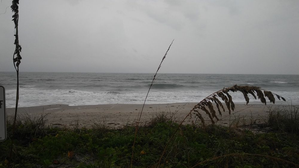
Beach and Surf Conditions
Boaters will find just a few isolated showers Sunday, with westerly winds and Atlantic seas at 2 to 4 feet. Surfers will have poor-to-fair conditions, with an easing east-southeasterly windswell. The rip current threat is moderate for Sunday.

We want your pictures!
Show us what the weather looks like in your neighborhood. Your photo could end up on Spectrum News 13.
- Get the Spectrum News 13 app for iOS or Android
- Tap "Submit Content" at the bottom of the app menu
- Remember to include your name and location