


ORLANDO, Fla. — It’s a comfortable evening across Central Florida, but clouds will continue to increase.
- Changeable weekend weather
- Showers soon returning
- CURRENT CONDITIONS: Temperatures, heat indexes, trends
- TRACKING THE TROPICS: Formation potentials, Atlantic and Gulf satellite loops, typical storm tracks per month
- SEE BELOW: See our 7-day forecast ▼
A few showers will also be possible towards daybreak in South Brevard, with warmer lows in the 60s and low 70s.
Moisture and warmth will return for Sunday. Our cold front from Friday will move back into the area as a warm front, bringing clouds and rain chances. Expect scattered showers to develop during the day under mostly cloudy skies. Highs for Sunday will be in the low 80s.
The unsettled weather will continue for Monday. The front will remain in place across the area, keeping scattered showers in the forecast. Highs for Monday will be in the mid-80s.
Election Day does look drier, but a few scattered showers cannot be ruled out. Highs for the election will hold in the mid-80s.
- View LIVE Interactive StormTracker 13 Radar Map
- View our LIVE Sky 13 Weather Cameras
- Sign up for Severe Weather Alerts
Rain chances increase for the back end of next week as more moisture pushes into the area. Scattered showers will be possible each day, with temps holding in the mid-80s.
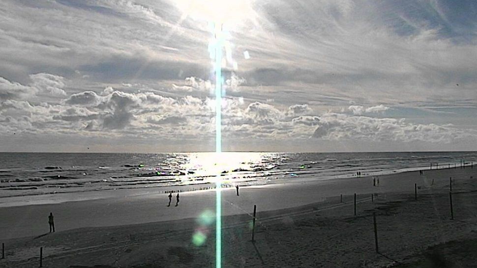
Boaters should watch out for scattered showers and isolated storms Sunday, with seas 3-4 feet. Surfers will find poor conditions, with lingering swell traces. The rip current threat is again moderate for Sunday, with Atlantic water temps now down to the mid and upper 70s.
Tropical Update
All remains quiet in the tropical Atlantic. There are no concerns in the Gulf, the Caribbean and the open waters of the Atlantic.
No major activity is expected over the next 5 days. Hurricane season ends on November 30.

We want your pictures!
Show us what the weather looks like in your neighborhood. Your photo could end up on Spectrum News 13.
- Get the Spectrum News 13 app for iOS or Android
- Tap "Submit Content" at the bottom of the app menu
- Remember to include your name and location