


ORLANDO, Fla. — As we head into the overnight hours, we can expect temperatures in the mid-70s and a chance for an isolated coastal shower.
- CURRENT CONDITIONS: Temperatures, heat indexes, trends
- TRACKING THE TROPICS: Formation potentials, Atlantic and Gulf satellite loops, typical storm tracks per month
- SEE BELOW: See our 7-day forecast ▼
High pressure is still positioned over the southeast, with a clockwise flow wrapping down into the Sunshine State and providing us an onshore flow. Friday, however, shower coverage stays fairly low at 20-30 percent.
Temperatures for Friday continue to climb into the low 90s. Mixed rounds of dry and moist air aloft keep the rain coverage around 20-30 percent for the weekend. Since most of us stay rain free, highs will respond to a mostly sunny sky and climb up either side of 90.
Heading into next week, tropical moisture moving north will bump storm chances to 40%, with temperatures topping off in the high 80s.
- View LIVE Interactive StormTracker 13 Radar Map
- View our LIVE Sky 13 Weather Cameras
- Sign up for Severe Weather Alerts
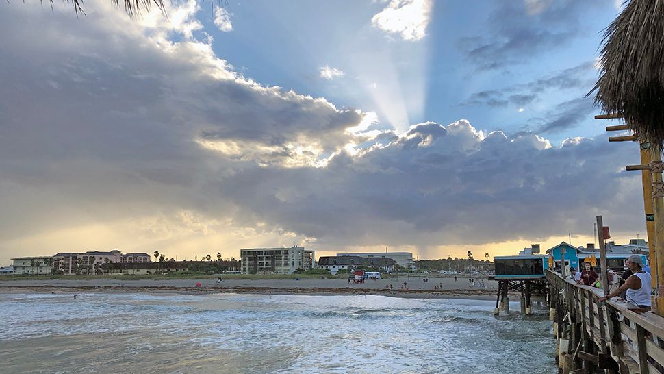
Dangerous, long period swells and rip currents persist along our east coast courtesy of Leslie east of Bermuda. Although wave heights are still running four to six feet, onshore winds will create poor to occasionally fair surfing conditions for Friday.
If you plan to go boating Friday, expect mostly sunny skies with just a slight chance for showers. There will be a breeze out of the east at 5-10 knots, and a light chop on the intracoastal.
Tropical Update
In the tropics, Leslie has weakened to a tropical storm located east of Bermuda in the open Atlantic, and continues to be no threat to land.
Long period swells and seas 4 to 6 feet continue creating dangerous conditions along the Florida coastline.
Down in the Caribbean, we still have eyes on a disturbance near Central America. Strong winds aloft are inhibiting development right now, but there is a slight chance of future development.

We want your pictures!
Show us what the weather looks like in your neighborhood. Your photo could end up on Spectrum News 13.
- Get the Spectrum News 13 app for iOS or Android
- Tap "Submit Content" at the bottom of the app menu
- Remember to include your name and location