


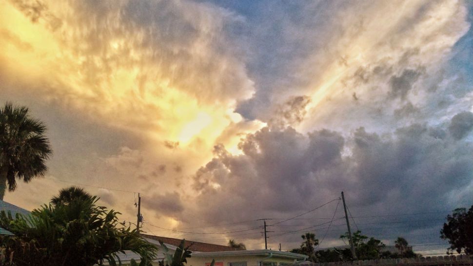
ORLANDO, Fla. -- It was a warm weekend across the area, with a few strong storms impacting portions of the region.
- Low Rain Chances
- Work Week Warmth
- SEE BELOW: See our 7-day forecast ▼
The activity will end overnight, with just a few clouds remaining. Overnight lows will only fall into the low to mid 70s.
We'll start the work week with more sun and low rain chances. Our drier air will remain place, reducing but not eliminating rain chances. We'll see just a few widely scattered storms in the afternoon, with highs in the low 90s.
- View LIVE Interactive StormTracker 13 Radar Map
- View our LIVE Sky 13 Weather Cameras
- Sign up for Severe Weather Alerts
Tuesday will also feature just scattered showers and storms, with highs holding in the low 90s.
Rain chances will increase by midweek. More moisture will work into the area, resulting in better coverage of PM showers and storms both Wednesday and Thursday. Highs both days will be in the low 90s.
We'll close the work week Friday with morning sunshine and a good bet for PM storms. Highs will be in the low 90s.
Right now, Father's Day weekend looks fairly typical for June with AM sun and afternoon showers and storms. Highs for the weekend will be in the upper 80s to low 90s.
Tropical Update
All remains quiet in the tropical Atlantic as we enter another week of hurricane season. No major activity is expected in the Gulf, the Caribbean and the open waters of the Atlantic over the next 5 days.

We want your pictures!
Show us what the weather looks like in your neighborhood. Your photo could end up on Spectrum News 13.
- Get the Spectrum News 13 app for iOS or Android
- Tap "Submit Content" at the bottom of the app menu
- Remember to include your name and location