


ORLANDO, Fla. — An unsettled pattern will take shape over the next few days, leading to several opportunities for showers and storms. The first round comes Monday with a front entering the northeast Gulf of Mexico.
What You Need To Know
- Monday's highs at 90 degrees
- Some winds maybe more than 50 mph
- Hail and lightning possible during storms
- 7-day forecast
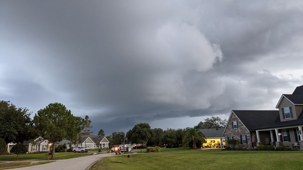
As this pushes east, a line of showers and storms will advance across the Interstate 4 corridor Monday afternoon. Before storms develop, highs will climb to around 90 degrees.
Some cells may contain strong winds more than 50 mph, hail and frequent lightning before pushing offshore early Monday evening. A marginal risk for severe weather encompasses all of Central Florida for Monday.
Activity will diminish Monday night, but lingering moisture will yield to additional showers and storms on Tuesday. Low rain chances will prevail each day throughout the rest of the week in the form of isolated afternoon storms.
Highs each day this week will stay close to 90 degrees. The average high for this date is now 89 degrees.
SURF & BOATING FORECAST
Offshore-moving showers and storms will be a hazard for boaters, paired with a south wind of 5 to 15 knots creating a moderate chop on the Intracoastal.
Seas will start to recede to 3 to 4 feet, and in the near-shore waters, the east to northeast swell will ease as Arthur moves further away from Florida.
The first named system of the 2020 Atlantic Hurricane Season formed this week, but has no threat to the Sunshine State.
Tropical storm conditions are anticipated in coastal North Carolina as Arthur approaches the coast and then turns out to sea.