


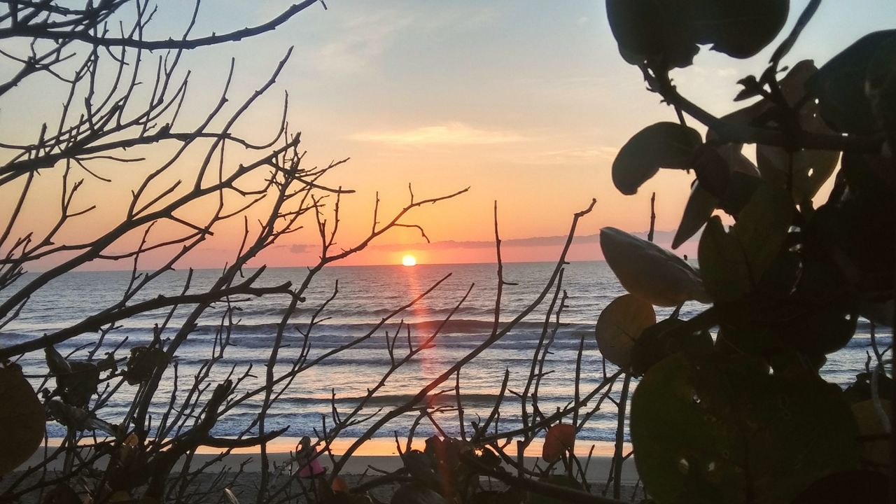
ORLANDO, Fla. — We lived up to our namesake the “Sunshine State” again today with plenty of sun, a few high clouds, and highs in the 80s.
What You Need To Know
- Tuesday's highs at 86 degrees
- CURRENT CONDITIONS: Temperatures, heat indexes, trends
- SEE BELOW: See our 7-day forecast ▼
A gusty wind created a concern for wildfires because of our low humidity levels and we could see high fire conditions tomorrow and Thursday.
We’ll actually keep the breeze up overnight with gusts occasionally to around 15 to 20 mph.
High pressure remains in control of our pattern the next few days providing us more of what we’ve seen weather-wise the past couple days, mostly sunny and seasonable conditions. Wednesday’s wind stays up with gusts up over 25 mph at times.
Highs warm into the upper 70s and lower 80s along our east coast, and into the middle 80s inland. A few bank thermometers will pop into the upper 80s. Although breezy Thursday, we won’t be quite as gusty and highs will be the same as tomorrow.
We then turn our attention to an area of low pressure forecast to develop near the Bahamas Friday into Saturday. Models vary on where the moisture from this low winds up, but this feature is set to move away from Florida with no direct impact.
Right now, we’ve got rain coverage at 20 to 30 percent both Friday and Saturday with highs in the mid to upper 80s. If this low develops a little farther north, we will increase rain coverage.
Dry air on the back side of this system drops into the area Sunday into early next week giving us dry conditions and highs either side of 90.
Beach and Boating Conditions
Poor surfing conditions are expected for local surfers as we experience an easterly windswell mix and mushed up wave heights of two to four feet. We’ll have enough churn in the water to create a moderate rip current threat. Sea surface temperatures remain steady in the middle 70s.
