


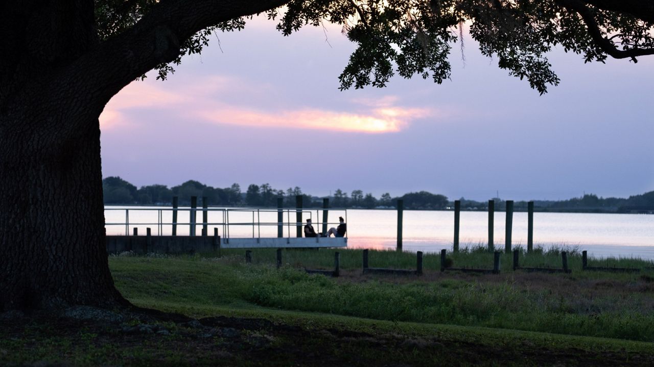
ORLANDO, Fla. — Clear skies are in the forecast through the overnight hours. Temperatures will be comfortable, falling into the upper 50s to low 60s.
What You Need To Know
- High pressure in place through Thursday
- Sunny skies, lower dew points
- CURRENT CONDITIONS: Temperatures, heat indexes, trends
- SEE BELOW: See our 7-day forecast ▼
High pressure building over the region sets up shop for several days, creating a cut-and-paste forecast through Thursday.
Enjoy the mostly sunny conditions and dew points that won’t make it feel too humid. Temperatures warm nicely into the upper 70's to low 80's along our east coast, with low to mid-80's inland.
By Friday, high pressure will begin to slide away from us.
Large model differences then appear Friday into Saturday surrounding the development of low pressure near Cuba and the Bahamas. If this low develops farther south and east, we will keep our forecast mainly dry with isolated showers and storms Friday through Sunday.
If it develops a bit more to the north, deeper moisture streaming up the peninsula will lead to more widespread rain and rumbles. There’s also a chance it may not develop much at all and we again lean toward a dry forecast.
We’ll watch it closely and tweak our 7-day as we get closer. Highs Friday through Sunday bump into the mid and upper 80s, then low 90s by next Monday.
Beach and Boating Conditions
Poor surfing conditions are expected for local surfers as we experience a northeast to east windswell mix and mushed up wave heights of two to three feet. We’ll have enough churn in the water to create a moderate rip current threat. Sea surface temperatures remain steady in the middle 70s.
