


ORLANDO, Fla. — Ample amounts of sunshine mixed with a few afternoon clouds, but not enough to slow our temperatures from climbing into the upper 80s and lower 90s.
- Highs for Wednesday at 89 degrees
- CURRENT CONDITIONS: Temperatures, heat indexes, trends
- SEE BELOW: See our 7-day forecast ▼
We’ll stay on the mild side overnight with lows in the mid to upper 60s. Areas of fog are forecast to develop closer to sunrise and visibility in some neighborhoods could dip to a half-mile.
An approaching cold front is set to bring another shot of cooler and drier air in our direction. Ahead of the front, we’ll kick our Wednesday off with a mostly sunny sky and heat up quickly into the upper 80s area-wide.
A few scattered showers develop by early afternoon in Marion and Flagler Counties, slipping southeast into the evening.
- View LIVE Interactive StormTracker 13 Radar Map
- View our LIVE Sky 13 Weather Cameras
- Sign up for Severe Weather Alerts
Rain coverage remains at only 20 to 30 percent north of Orlando, dropping as you travel south. We may even hear a few rumbles in neighborhoods north of Seminole County.
We’ll clear our sky quickly Wednesday night with a sunny sky anticipated Thursday. Although breezy, highs will be quite pleasant in the mid to upper 70s.
We are back into the low to mid-80s Friday and mid to upper 80s Saturday with mostly sunny conditions both days.
An area of low pressure coming across south Florida on Mother’s Day will provide us a cloudy sky and decent rain and rumble coverage. Good day to enjoy indoor activities with Mom.
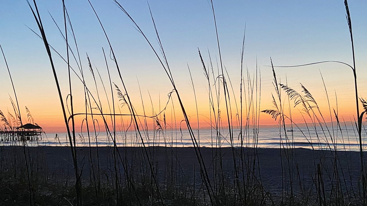
Beach and Boating Conditions
Very poor surfing conditions are in the cards for anyone hoping to catch a wave along our Atlantic coast. Wave heights are only ankle to knee high with minor easterly swell traces. The rip current threat is low with sea surface temps in the mid to upper 70s up and down the coast.
