


ORLANDO, Fla. -- Mostly cloudy skies are in the forecast through the overnight hours.
- Showers likely Thursday behind cold front
- Wind to stay high Thursday night into Friday
- CURRENT CONDITIONS: Temperatures, heat indexes, trends
- SEE BELOW: See our 7-day forecast ▼
With the front nearby, scattered showers will be possible as we head toward daybreak. Wind will be breezy and switch more to the north. This will help for a cooler morning with lows in the mid to low 60s.
North-northeasterly winds behind the front are set to gust over 20 mph Thursday with showers likely. Clouds and rain will keep highs in the upper 60s to lower and a few mid-70s.
The wind stays up Thursday night into Friday, but eventually comes around from the southeast during the day. A developing east coast sea breeze means another fairly decent coverage of showers and embedded storms as we round out the week.
- View LIVE Interactive StormTracker 13 Radar Map
- View our LIVE Sky 13 Weather Cameras
- Sign up for Severe Weather Alerts
Highs Friday warm back closer to seasonable levels in the upper 70s and lower 80s. Our weekend pattern is very hard to nail down with wrinkles in the atmosphere riding across the southeastern U.S. and a couple fronts swinging in our direction.
For right now, we're painting in a 30 to 40 percent rain coverage both Saturday and Sunday with high temps in the mid to upper 80s.
Models are varying quite a bit early next week, so we’ll keep a 40 percent rain chance in Monday, then enjoy a mostly sunny sky Tuesday and Wednesday.
Temps are back into the mid to upper 80s most of next week. Still some tweaking to do as we get more data, but an unsettled pattern is certainly ahead.
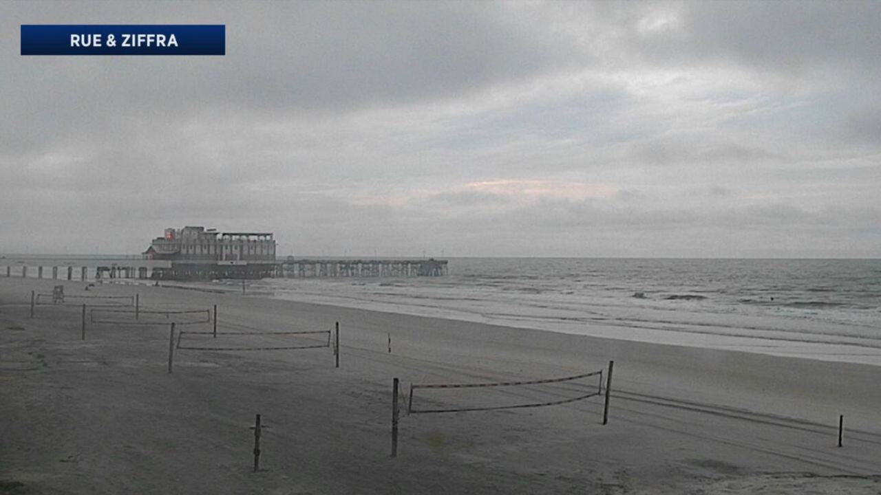
Beach and Boating Conditions
Boaters heading offshore can expect it to stay breezy on Wednesday with winds from the southwest at 15 to 20 knots, gradually turning northwest.
Offshore seas will be in the range of 3 to 4 feet. There will be a moderate chop on the Intracoastal Waterway.
