


ORLANDO, Fla. — Temperatures warmed close to records Wednesday afternoon with highs in the upper 80s to low 90s.
- Thursday's highs at 89 degrees
- CURRENT CONDITIONS: Temperatures, heat indexes, trends
- SEE BELOW: See our 7-day forecast ▼
We got to see plenty of sunshine, but a few clouds rolled in from time to time with a decent westerly wind.
We have another hot day in store for Thursday before a front moves in on Friday and knocks our highs back down and brings a chance for rain.
Partly cloudy skies are in the forecast through the overnight hours. Temperatures will be mild, falling only into the upper 60s to low 70s. Some moisture moving in as we head toward daybreak may allow for a few spotty showers in the morning, but most will be dry.
- View LIVE Interactive StormTracker 13 Radar Map
- View our LIVE Sky 13 Weather Cameras
- Sign up for Severe Weather Alerts
Spotty morning showers wrap up, and we’ll bask under a partly sunny sky. Breezy conditions stay with us as highs soar into the upper 80s and lower 90s. A few record highs may be in jeopardy.
The cold front responsible for widespread severe weather well to our north is forecast to move into our area Friday, but by the time it reaches us, we’re expecting scattered showers and an isolated storm.
Temperatures Friday remain in the mid to upper 70s. Only an isolated shower threat Saturday with a high in the lower 80s, then a warm front lifts north Saturday night and sends highs back into the upper 80s and lower 90s for Easter Sunday.
Our next cold front slips south Monday but stalls to our north. Enough instability sticks around for a 30 percent coverage of showers and storms Monday and Tuesday.
We heat into the low 90s early next week before that same front moves by us Wednesday and drops highs slightly for the second half of the week.
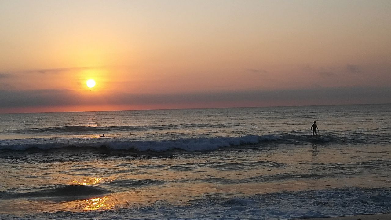
Beach and Boating Conditions
Our UV index remains extreme Thursday. It will only take 10 minutes for less to start to burn, so make sure to apply sunscreen!
