


ORLANDO, Fla. — We had some peeks of sunshine to start our Wednesday, but clouds and rain quickly moved in as a cold front approached.
- Highs for Thursday in the 60s
- CURRENT CONDITIONS: Temperatures, heat indexes, trends
- SEE BELOW: See our 7-day forecast ▼
Some storms did develop throughout the afternoon and held gusty wind and some heavy rain. Temperatures were knocked back to around 80 degrees, but still above the average. Drier and colder air will move in overnight and bring some bigger changes for the rest of the week.
Clouds will decrease through the overnight hours and breezy wind out of the north pull in some drier air. Cooler temperatures will also drop south and allow lows to fall into the upper 40s to low 50s.
- View LIVE Interactive StormTracker 13 Radar Map
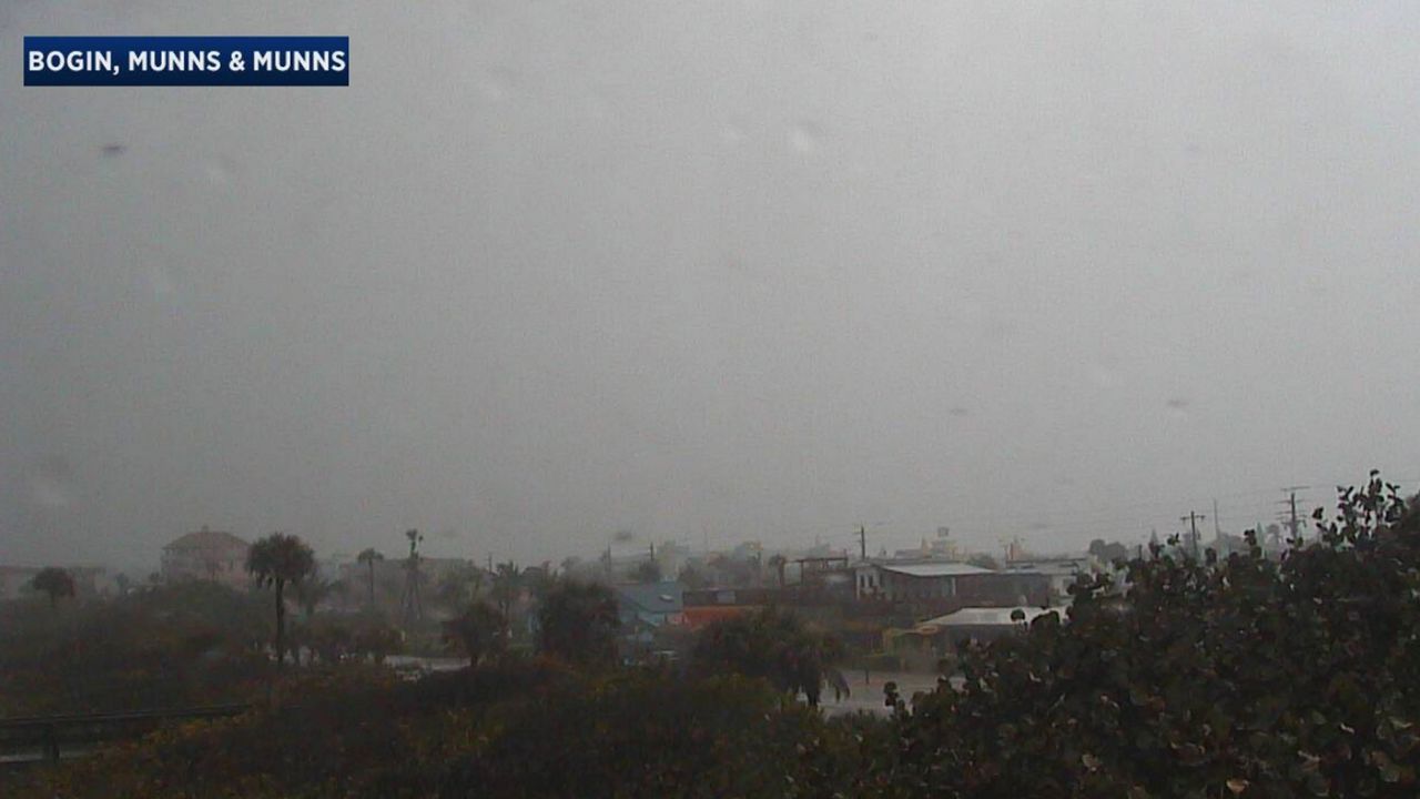
- View our LIVE Sky 13 Weather Cameras
- Sign up for Severe Weather Alerts
After the chilly start, don’t expect a big warm up for the afternoon! Plenty of sunshine will return, but highs will only climb into the upper 50s to low 60s. Thursday night will be even colder as temperatures fall to around 40 degrees. Some of our northern, low-lying spots will fall close to the freezing mark of 32 degrees. Some frost will be possible in the locations to begin Friday.
Temperatures will stay below average as we head into the weekend as a dry front moves through Saturday and reinforces the colder air. We do start to warm up next week ahead of our next front expected to move through Thursday.
Beach and Boating Conditions
Ocean conditions will be rough Thursday and a Small Craft Advisory has been issued. Strong wind will create choppy waters not only for the ocean, but for the intracoastal waterway. Surf conditions will be poor to fair with a small east-northeast swell. There is still a moderate rip current risk.
