


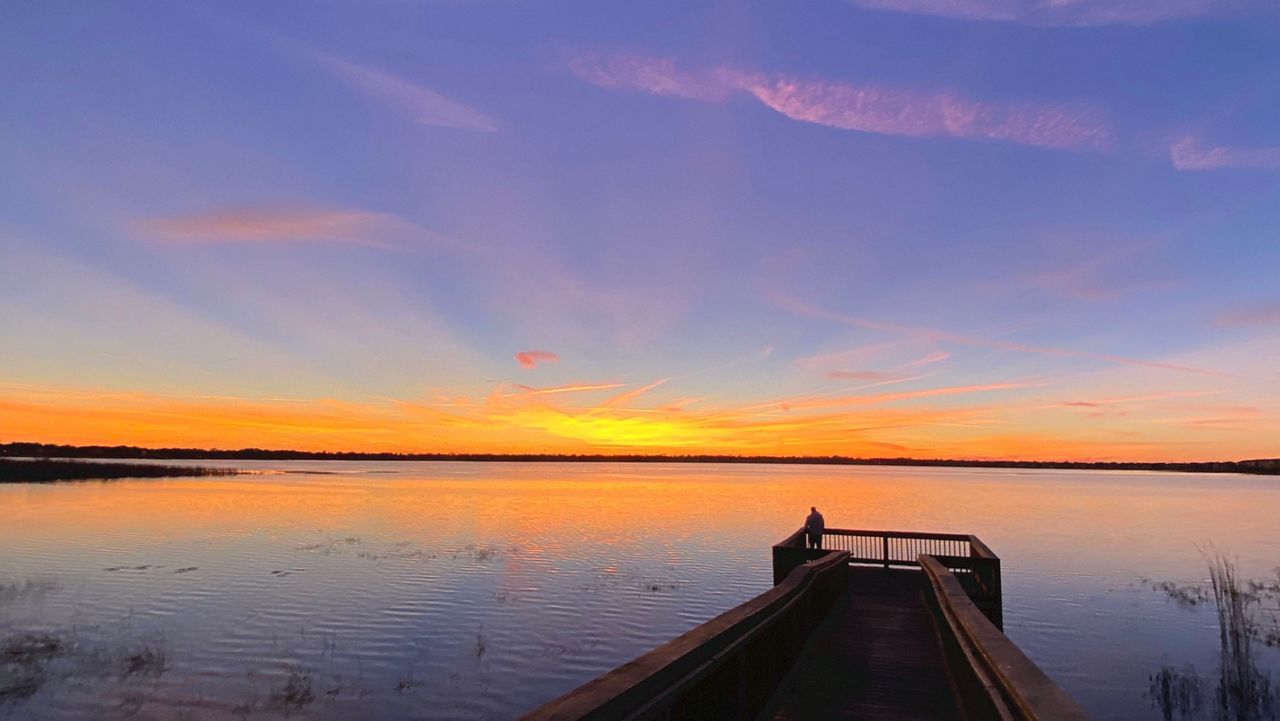
ORLANDO, Fla. — Florida is living up to its namesake with a sunshine filled sky once again today and temperatures that were a little warmer than we’ve seen lately.
- Thursday's highs at 70 degrees
- RELATED: Weather FAQ: Why Are Rip Currents Dangerous?
- Send us your weather photos and get the latest forecast via the Spectrum News 13 app
- CURRENT CONDITIONS: Temperatures, heat indexes, trends
- SEE BELOW: See our 7-day forecast ▼
Temperatures were a little warmer than we’ve seen lately, reaching the upper 60s to low 70s. Even warmer air is on the way with generally dry conditions through the weekend.
Under a clear sky overnight, lows dip into the lower 40s in Marion County, with upper 40s and lower 50s elsewhere.
High pressure sliding off the Mid-Atlantic coast overnight will swing our wind around from the east, helping keep us a little warmer. We may see a few clouds dot the sky near I-95 with inland areas remaining mainly clear.
Another mostly sunny day is on tap Friday as our wind shifts out of the south and warms us into the mid to upper 70s area wide.
- View LIVE Interactive StormTracker 13 Radar Map
- View our LIVE Sky 13 Weather Cameras
- Sign up for Severe Weather Alerts
Not much change is in the forecast Saturday with plenty of sun and a few clouds and temps in the low to mid-70s. A warm front lifting across the area Saturday night gives us a southeasterly flow and warms us back into the mid to upper 70s.
We’ll see a mix of sun and clouds with an isolated shower possible in the afternoon. We are dry and even warmer Monday and Tuesday as highs climb into the upper 70s and lower 80s.
The front we thought would swing through Tuesday night doesn’t quite make it into Central Florida, so we’ll go with a 20-percent rain coverage Wednesday and highs in the mid to upper 70s.
Beach and Surf Conditions
Very poor surfing conditions are in the cards for Friday thanks to minor northerly windswell traces and wave heights of only ankle to knee high. Tidal effects will create a moderate rip current threat along area beaches once again. Sea surface temps remain steady and cool in the upper 60s to lower 70s.

We want your pictures!
Show us what the weather looks like in your neighborhood. Your photo could end up on Spectrum News 13.
- Get the Spectrum News 13 app for iOS or Android
- Tap "Submit Content" at the bottom of the app menu
- Remember to include your name and location