


ORLANDO, Fla. — The clouds finally broke on Monday and temperatures started to warm back up.
- RELATED: Weather FAQ: Why Are Rip Currents Dangerous?
- Send us your weather photos and get the latest forecast via the Spectrum News 13 app
- CURRENT CONDITIONS: Temperatures, heat indexes, trends
- SEE BELOW: See our 7-day forecast ▼
- CALCULATE: How hot can your vehicle get? ▼
Many spots reached the upper 60s and lower 70s. This trend of brighter skies and slightly warmer temperatures will continue as we head toward mid-week. A ridge of high pressure will be building over the region and will keep rain chances at bay for most of this week.
Skies will be partly cloudy overnight with lows dropping into the upper 40s northwest of I-4 and the low to mid-50s around Orlando and for areas to the east and southeast.
The sunshine returns for Tuesday afternoon with afternoon highs topping out in the low to mid-70s. Our average high is 78 degrees, so temperatures will still run slightly cooler than average this week. But, it won’t be nearly as cold as it was over the weekend.
Jacket weather will continue for the evening and morning hours with temperatures continuing to fall into the upper 40s and lower 50s through Thursday.
- View LIVE Interactive StormTracker 13 Radar Map
- View our LIVE Sky 13 Weather Cameras
- Sign up for Severe Weather Alerts
A bigger warming trend will start on Friday when the area of high pressure will start to slide just to our east. This will allow our winds to come out of a southerly direction and this will tap into warmer air for the end of the week and start of the weekend.
High temperatures will reach the upper 70s and lower 80s for both Friday and Saturday afternoon. Morning temperatures won’t be as chilly. They’ll drop into the upper 50s and lower 60s.
A cold front will then work in from the northwest late Saturday into Sunday. This front could spark some showers, but the rain chances will remain low. The coverage of rain for Saturday evening will be 20 percent with a 30 percent coverage of rain for early Sunday morning.
Skies will start to clear out Sunday afternoon with cooler temperatures for the second half of the weekend. Temperatures will drop back into the lower 70s behind this next front.
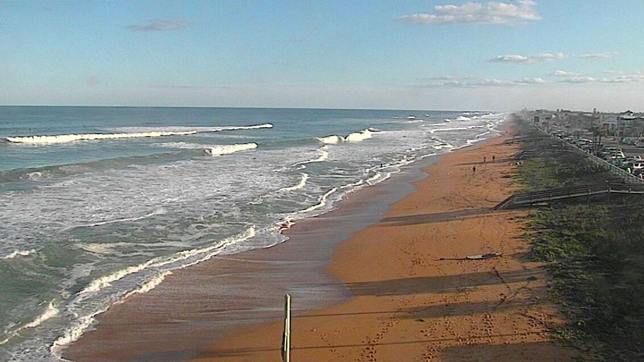
Beach and Surf Conditions
Beach and boating conditions remain rough Tuesday and a Small Craft Advisory continues. Wind will be a bit breezy at times and will create some choppy waters. If wanting to do some surfing, conditions will be good in the morning, but you’ll want to be aware of a high rip current threat.
Tropical Update
In the tropics, there is an area of low pressure east of the Lesser Antilles that has a chance to further develop. It became more organized Monday and may become a depression or subtropical in the next day or two. This will not pose a threat to any land and the U.S. That is because this potential system will get swept away by a cold front and out to sea.
The next name on the list is Sebastian. The hurricane season runs through November 30.

We want your pictures!
Show us what the weather looks like in your neighborhood. Your photo could end up on Spectrum News 13.
- Get the Spectrum News 13 app for iOS or Android
- Tap "Submit Content" at the bottom of the app menu
- Remember to include your name and location