


ORLANDO, Fla. — High temperatures for our Thursday afternoon once again reached well above average.
- RELATED: Weather FAQ: Why Are Rip Currents Dangerous?
- Send us your weather photos and get the latest forecast via the Spectrum News 13 app
- CURRENT CONDITIONS: Temperatures, heat indexes, trends
- SEE BELOW: See our 7-day forecast ▼
- CALCULATE: How hot can your vehicle get? ▼
Orlando, in fact, was almost 10 degrees above the average topping out at 89 degrees. An approaching cold front will start to change things up and bring some pretty pleasant weather for the weekend.
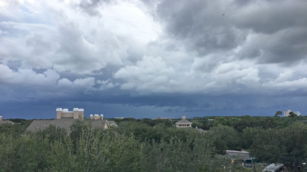
Clouds will start to increase overnight as temperatures fall into the upper 60s to low 70s. Some moisture moving back in will also allow for another foggy start to the day. Visibility may be reduced to less than half a mile, so give yourself some extra time on the morning commute.
- View LIVE Interactive StormTracker 13 Radar Map
- View our LIVE Sky 13 Weather Cameras
- Sign up for Severe Weather Alerts
Mostly cloudy skies will take us into Friday afternoon with a decent chance for showers and storm. With the extra clouds and rain, high temperatures will already start to back down, only reaching the upper 70s to low 80s. Once this front drops south Saturday morning, drier and cooler air will start to move in.
We’ll see plenty of sunshine by Saturday afternoon that will continue for several days. Highs will finally fall below average, reaching only the mid to upper 70s. Saturday night, lows will fall into the 50s! Temperatures stay around average for much of next week.
Tropical Update
In the tropics, there are no systems to track at this time.
The hurricane season runs through November 30.
Beach and Surf Conditions
We’ll wake up with fair surfing conditions Friday with wave heights of two to three feet and an east-northeast swell lingering. Unfortunately, conditions won’t be so good in the afternoon and we’ll be dodging raindrops on the beach.
A moderate rip current threat remains in place. Sea surface temps are in the mid-70s along the Flagler and Volusia County coasts, and around 80 along Brevard’s coast.

We want your pictures!
Show us what the weather looks like in your neighborhood. Your photo could end up on Spectrum News 13.
- Get the Spectrum News 13 app for iOS or Android
- Tap "Submit Content" at the bottom of the app menu
- Remember to include your name and location