


ORLANDO, Fla. — Another quiet day Friday with mostly sunny skies and temperatures around 90 degrees.
Overnight conditions will remain mostly clear as temperatures drop into the upper 60s to low 70s. Be careful if you plan on heading out the door early Saturday with the potential for late night fog that could lower visibility on the roads.
- Friday's highs at 91 degrees
- RELATED: Weather FAQ: Why Are Rip Currents Dangerous?
- Send us your weather photos and get the latest forecast via the Spectrum News 13 app
- CURRENT CONDITIONS: Temperatures, heat indexes, trends
- SEE BELOW: See our 7-day forecast ▼
- CALCULATE: How hot can your vehicle get? ▼
Saturday is going to be very similar to what we’ve seen all this week, with highs around 90 degrees and a chance for a few showers.
Sunday will see a slightly elevated chance of showers as a front stalls over North Florida. This will bring with it a slight drop in temperatures and the chance for some afternoon thunderstorms.
- View LIVE Interactive StormTracker 13 Radar Map
- View our LIVE Sky 13 Weather Cameras
- Sign up for Severe Weather Alerts
The rest of the week will see a steady drop in temperature and a slight rise in rain chances.
Central Florida will continue to see increased cloud coverage and afternoon thunderstorms beginning on Sunday and lasting through midweek.
Tropical Update
In the tropics, the area of thunderstorm activity near the Yucatan peninsula no longer has a chance for development as it drifts west.
Low pressure is expected to develop in a few days in the Central Atlantic and there is a low chance that it could take on tropical characteristics. For now, however, it is quiet with no concerns for Florida.
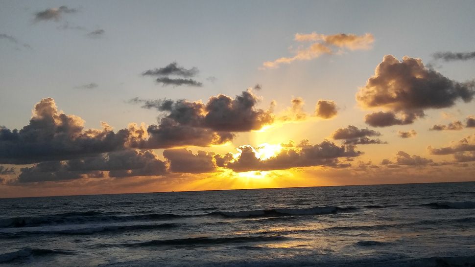
Beach and Surf Conditions
If you are boating this weekend, there will be a slight chance of scattered showers throughout the day.
Winds will be out of the northeast at 10 to 15 knots and seas will be 3 to 5 feet with a moderate chop on the intracoastal.
A high rip current risk continues along the east coast.

We want your pictures!
Show us what the weather looks like in your neighborhood. Your photo could end up on Spectrum News 13.
- Get the Spectrum News 13 app for iOS or Android
- Tap "Submit Content" at the bottom of the app menu
- Remember to include your name and location