


ORLANDO, Fla. — A few showers lingered across the area during the evening, with temps falling into the 70s.
- RELATED: Weather FAQ: Why Are Rip Currents Dangerous?
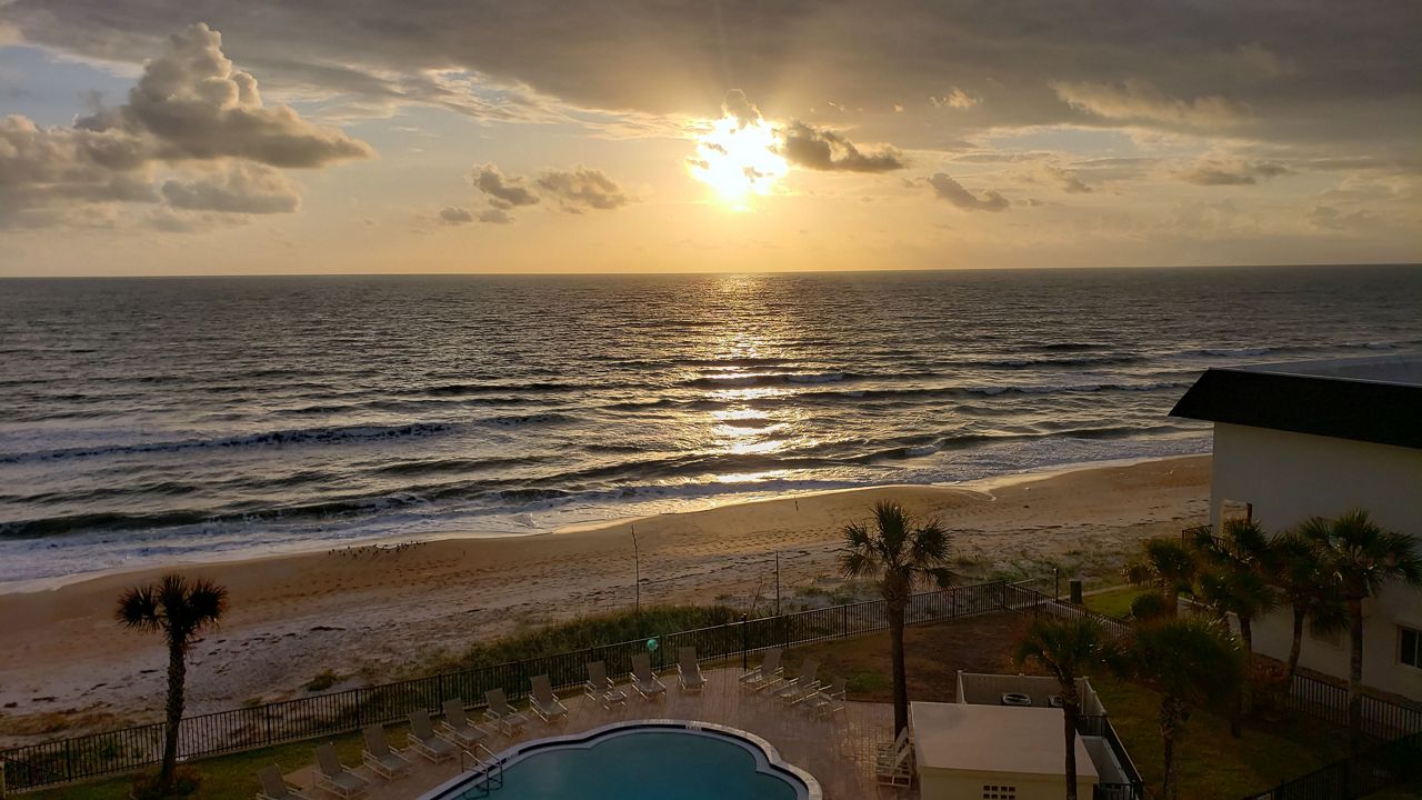
- Send us your weather photos and get the latest forecast via the Spectrum News 13 app
- CURRENT CONDITIONS: Temperatures, heat indexes, trends
- SEE BELOW: See our 7-day forecast ▼
- CALCULATE: How hot can your vehicle get? ▼
The showers will fade away overnight, with warmer lows in the low to mid 70s.
We’ll open up the work week with more rain chances. Expect partly cloudy skies for Monday with scattered showers. Temperatures will be in the high 80s inland and mid to low 80s on the coast. It will be windy, with gusts over 20 mph. Overnight temperatures will be in the low 70s.
- View LIVE Interactive StormTracker 13 Radar Map
- View our LIVE Sky 13 Weather Cameras
- Sign up for Severe Weather Alerts
Scattered showers and partly sunny conditions will continue through the rest of the week, with rain chances continuing. Highs will be in the mid to upper 80s.
Next weekend will feature increased rain chances and highs in the mid to upper 80s.
Lorenzo remains a major hurricane in the Central Atlantic. The system will get close to the Azores later this week, producing gusty winds and flash flooding.
Elsewhere, no major activity is expected over the next five days.
Beach and Surf Conditions
Surfing conditions are expected to be poor all day tomorrow, with a high rip current threat. There is an east-northeasterly windswell, with long period Lorenzo swells mixed in.
A Small Craft Advisory continues for Monday, with seas 5-7 feet and a strong east-northeasterly wind.

We want your pictures!
Show us what the weather looks like in your neighborhood. Your photo could end up on Spectrum News 13.
- Get the Spectrum News 13 app for iOS or Android
- Tap "Submit Content" at the bottom of the app menu
- Remember to include your name and location