


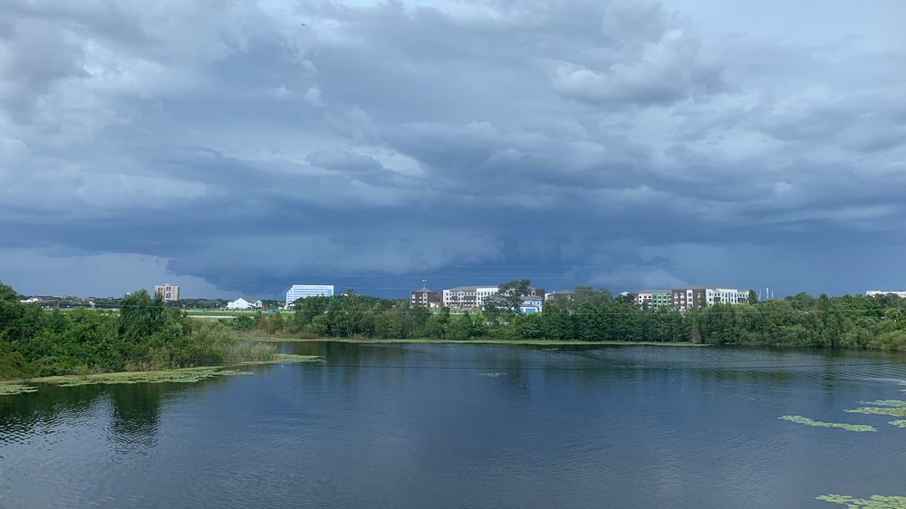
ORLANDO, Fla. — Scattered storms moved through Central Florida early this evening, prompting a severe thunderstorm warning for parts of Marion County.
- Areas could see frequent lightning, heavy downpours
- Send us your weather photos and get the latest forecast via the Spectrum News 13 app
- CURRENT CONDITIONS: Temperatures, heat indexes, trends
- SEE BELOW: See our 7-day forecast ▼
- CALCULATE: How hot can your vehicle get? ▼
The warning lasted through 6 p.m. and was southwestern Marion, including the areas of Dunnellon, the Ocala airport, Romeo, and Rainbow Lakes Estates.
The storm was capable of producing 60 mph wind gusts and was moving north at 5 mph.
For four days in a row, temperatures have reached 95 degrees in Orlando. Not only has it been hot, but the humidity has made it feel more like triple digits.
- View LIVE Interactive StormTracker 13 Radar Map
- View our LIVE Sky 13 Weather Cameras
- Sign up for Severe Weather Alerts
We have seen some scattered afternoon storms that are expected to stick around the rest of the week. Some of the storms could be strong with gusty wind, frequent lightning, and heavy rain.
Partly cloudy skies are in the forecast through the overnight hours. Temperatures will be warm and muggy, falling into the mid-70s.
After a quiet morning, expect scattered showers and storms to develop again for our Thursday afternoon.
We’ll see a mix of sun and clouds with temperatures back in the mid to low 90s. High humidity sticking around will make it feel more like 100 degrees at times. This will be the case for the rest of the week and into the weekend.
Beach and Surf Conditions
Watch for storms if heading to the beach or outside. Ocean conditions will be a little choppy with winds picking up to between 10-15 mph.
There is also a moderate rip current risk to think about before heading into the water.
Favorable boating conditions will continue through at least Sunday.
Tropical Update
In the tropics, remnants of Barry is now over Ohio, but very weak. Will get picked up by a front soon and completely dissipate.
No new development is expected over the next 5 to 7 days. Conditions remain largely unfavorable for any short-term development thanks to strong winds aloft that tear potential systems apart and dry air that continues to move across the Atlantic
Atlantic hurricane reason runs through November 30.

We want your pictures!
Show us what the weather looks like in your neighborhood. Your photo could end up on Spectrum News 13.
- Get the Spectrum News 13 app for iOS or Android
- Tap "Submit Content" at the bottom of the app menu
- Remember to include your name and location