


Poor Florida. Hurricanes, like alligators, always lurk here.
What You Need To Know
- Spectrum News meteorologists in Florida hail 'evolving' hurricane-forecasting technology
- NOAA touts a 'significant upgrade' to its Global Forecast System, or GFS, model
- Meteorologists urge 'reliable sources of information' when a storm approaches
They lurk from the south. They lurk from the east and southeast. They lurk from the south and southwest.
“Florida is so exposed,” said Chris Gilson, a certified meteorologist at Spectrum News 13, which covers nine Central Florida counties. “Basically from every angle, a storm could come and impact Florida.”
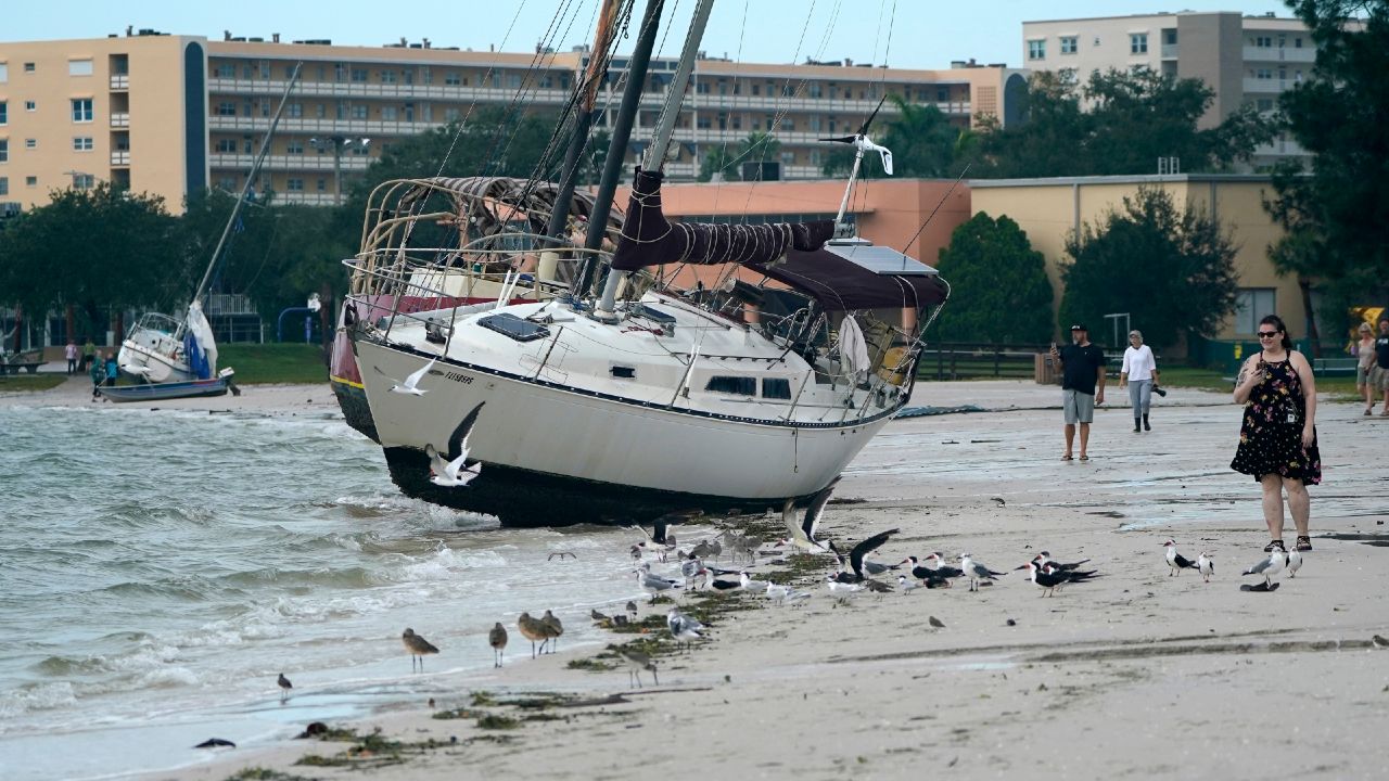
Some 120 hurricanes have hit the state since 1851, according to the National Oceanic and Atmospheric Administration. That’s almost double the number to strike Texas, which, at 65, has absorbed the second-highest number of U.S. hurricanes.
So, more than others, Floridians need to prepare for tropical weather sytems, and that makes forecasting all the more critical.
Fortunately, meteorologists point to continued improvement in hurricane-track predictions, including “spaghetti” models that have provided so much food for thought.
“The track forecasting has, in my career, even in the last 10 years, evolved dramatically,” said Mike Clay, chief meteorologist at Spectrum Bay News 9, which covers seven Tampa Bay counties. “It's amazing how much better it's gotten.”
Clay points to the National Hurricane Center’s forecast track last August of Hurricane Laura, which made landfall in Louisiana just east of the Texas line — just as NHC forecast said, days in advance, it would.
‘Significant upgrade’ to U.S. forecast model
And to illustrate Clay’s point about evolution, the National Oceanic and Atmospheric Administration announced in March a significant upgrade to its Global Forecast System, or GFS, model.
Vijay Tallapragada, a top official at NOAA’s Environmental Modeling Center, said the upgrade allows the model to use more information from aircraft and satellites and to access more data from the upper atmosphere, which influences weather on Earth’s surface.
Testing of GFS version 16.0 showed about 10% to 15% improvement in hurricane-track and intensity forecasts, plus an additional 36 hours of lead time in predicting hurricane formation, Tallapragada said.
“This is a significant upgrade,” he said during a March news conference.
GFS, also known as the U.S. model, counts itself among various weather-forecasting models. Those include the highly respected European Centre for Medium-Range Weather Forecasts model, better known as the European model.
Such systems run equations based on information from variables such as temperature, humidity and wind pressure from satellites, aircraft, steam gauges and weather balloons, among other things, according to the National Weather Service. They aim to calculate a current state of the atmosphere and to provide forecasts including severe weather, rainfall and snowfall.
During hurricane season, the models form those so-called spaghetti plots — crisscrossing lines that depict the predicted paths of tropical systems and have made the Sunshine State look like a long, sloppy dinner plate.
But those occupied yesterday’s weather menu.
“Spaghetti plots — that’s kind of 2000ish,” Clay said.
The rise of ensemble forecasts
For the past decade or so, Clay said, meteorologists have turned to ensemble forecasts, which reflect multiple simulations and produce a range of possible weather outcomes from one model and sometimes from many different models.
Each weather situation dictates which ensemble meteorologists use, Clay said.
For example, he wrote in an online reply to a follow-up question: “Last year the Euro Ensembles all took Laura into Texas, but most ‘responsible’ (meteorologists) felt it was off and didn't use it.”
About weather-forecast models in general, he said, “we're looking at all of them all of the time because they all have good days and bad days. And if you have one that's your favorite, you usually end up getting burned.”
Clay and Gilson noted that forecast models have fallen short on predicting hurricane intensity, including of Hurricane Laura in Louisiana last year and Hurricane Michael in the Florida Panhandle in 2018.
In his own hypothesis, Gilson suggested missing variables might play a role.
“There are so many things going into it, a lot of dynamics at play,” he said. “You also have to consider ocean temperatures, which play a huge part in feeding a tropical system.
“If a tropical system has the chance to sit over warm ocean waters for quite some time, that can really help fuel the storm. Maybe sometimes forecast models just aren’t able to pick up on that element or even other elements of the strengthening of the storm as it’s moving” over water.
Caution on those long-term forecasts
For this Atlantic hurricane season, which begins June 1, forecasters predict more above-normal tropical activity — though not on the level of the historic 2020 season, which featured 30 named storms.
Gilson cautioned about such predictions because they don’t project the number of storms that will make landfall and could cause harm to people and damage to homes and businesses.
Consider 2010, he said. That season produced 19 named storms, but only one — Bonnie, which hit extreme southern Florida — touched the U.S. coastline.
At the same time, the 1992 season produced only six named storms, “but everybody remembers Andrew and all the devastation that it did to South Florida,” Gilson said.
Florida saw no hurricanes during the record-breaking 2020 season, though Tropical Storm Eta put a scare into the peninsula.
Eta made landfall as a Category 4 hurricane in Nicaragua. It eventually got downgraded to a tropical storm, then a Category 1 hurricane and creeped northward along Florida’s southwestern coast.
As it crept, the storm kept Florida on edge. Tropical systems pack their most lethal punch in their northeast quadrant, and a course too close to Florida’s west coast could have devastated Tampa Bay.
Eta ended up staying offshore until it made landfall near Cedar Key, about 120 miles north of Tampa — yet rain and storm surge brought flooding to Gulf coastal communities, including in Pinellas County, and left thousands without power in Central Florida.
In Florida, “you're always going to have an issue with storms that parallel the coast and where a small deviation can have big consequences down the road,” said Clay, of Bay News 9. “And we've seen it so many times, with Irma and Charley and storms like that, that have deviated slightly.”
Clay and Gilson, of News 13, urged residents to be careful about what news they consume and share.
“You have to continuously check reliable sources of information,” Gilson said. “Don't go off what you see on Facebook or Twitter or other social media pages. Have multiple sources of reliable information, whether that's through TV stations, the National Weather Service or local TV meteorologists.”
And you know meteorologists.
“If there's something you need to worry about,” Clay said, “we'll be talking about it.”