


ORLANDO, Fla. — It was a quiet start to our Father’s Day with temperatures in the 70s.
- Rain chance at 60% for Father's Day
- Send us your weather photos and get the latest forecast via the Spectrum News 13 app
- CURRENT CONDITIONS: Temperatures, heat indexes, trends
- SEE BELOW: See our 7-day forecast ▼
Stronger southeasterly wind today will tap into a little more moisture and help to fire up a higher chance for showers and storms for the afternoon. Some of the storms could hold gusty wind and frequent lightning as they travel west.
Highs will climb into the upper 80s to around 90 degrees.
Storms will continue through sunset, then just a few lingering showers into early tonight. Skies will become partly cloudy heading into Monday morning as temperatures fall into the mid to low 70s.
- View LIVE Interactive StormTracker 13 Radar Map
- View our LIVE Sky 13 Weather Cameras
- Sign up for Severe Weather Alerts
Monday will be similar to today with a quiet start, then a decent chance for afternoon showers and storms. High rain chances stick around through mid-week with temperatures staying around 90 degrees.
By the end of the week, drier air moves in and knocks rain chances back heading into weekend. Only a 20 percent possibility for both Friday and Saturday. This does mean that temperatures will be slightly hotter with more sunshine around.
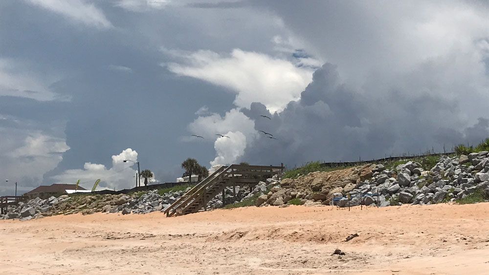
Beach and Surf Conditions
Watch for storms to start around lunchtime if heading to the beach. Ocean conditions look calm today, however, with a low rip current threat and wave heights between 1 to 2 feet.
Tropical Update
We still have no issues to talk about in the tropics. There are no developing systems in the Gulf, the Caribbean or the open waters of the Atlantic.
No major activity is expected the next 5 days.
Hurricane season runs through November 30.

We want your pictures!
Show us what the weather looks like in your neighborhood. Your photo could end up on Spectrum News 13.
- Get the Spectrum News 13 app for iOS or Android
- Tap "Submit Content" at the bottom of the app menu
- Remember to include your name and location