


ORLANDO, Fla. — It was a bit of a chilly start to our Thursday, but we warmed up nicely for the afternoon.
- Strong line of storms expected Friday afternoon
- CURRENT CONDITIONS: Temperatures, heat indexes, trends
- SEE BELOW: See our 7-day forecast ▼
High temperatures made it into the mid to low 70s, which is exactly where we should be this time of year.
We did have quite a few clouds around as moisture moved back into Central Florida. A front will be sliding closer overnight and will be responsible for showers and storms to end our work week. There is a risk that some of the storms could be strong.
Mostly cloudy skies are in the forecast through the overnight hours. Temperatures will be mild, falling into the mid to low 60s. While the majority of the night will be quiet, there could be a few showers around Friday morning.
- View LIVE Interactive StormTracker 13 Radar Map
- View our LIVE Sky 13 Weather Cameras
- Sign up for Severe Weather Alerts
A strong line of storms is expected during the afternoon that could produce strong wind, heavy rain, and lightning. An isolated tornado cannot be ruled out so have a way to stay updated on the weather throughout the day.
Temperatures ahead of this line will be in the mid to upper 70s with even some spots reaching 80 degrees.
Some lingering showers will stick around through mid-morning Saturday, then start to clear out for the afternoon. Highs will reach the mid to low 70s, then drop to the upper 60s to low 70s by Sunday. Quiet weather is in the forecast for a good portion of next week.
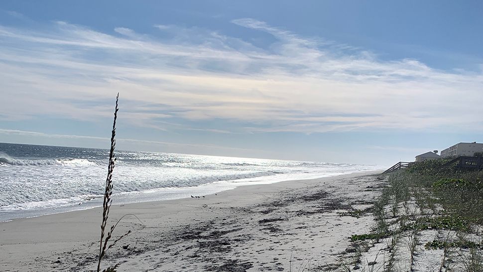
Surf and Boating Forecast
There is a risk that some of the storms could be strong. It will not be a great beach or boating day with choppy waters and the risk for lightning.

We want your pictures!
Show us what the weather looks like in your neighborhood. Your photo could end up on Spectrum News 13.
- Get the Spectrum News 13 app for iOS or Android
- Tap "Submit Content" at the bottom of the app menu
- Remember to include your name and location