


ORLANDO, Fla. — Mild temperatures started our Friday and warmed quickly into the upper 70s to low 80s for the afternoon.
- Hit and Miss Showers
- Warming Up This Weekend
- CURRENT CONDITIONS: Temperatures, heat indexes, trends
We had a mix of sun and clouds, along with a few isolated showers.
A nearby area of low pressure will allow for a chance of rain Saturday, but activity will not be widespread. Temperatures stay above average the next few days before a front brings a big cool down next week.
Partly cloudy skies are in the forecast through the overnight hours. Temperatures will fall into the upper 50s to low 60s.
Clouds will increase early Saturday as low pressure develops to our northeast. This low will allow for a few showers to start out the weekend, but will move away by Sunday. Both days will have above average temperatures; around 80 degrees.
- TRACKING THE TROPICS: Formation potentials, Atlantic and Gulf satellite loops, typical storm tracks per month
- SEE BELOW: See our 7-day forecast ▼
There is a stronger front that will move in on Monday and bring a big cool down by Tuesday. Highs only around 70 degrees are expected for mid-week.
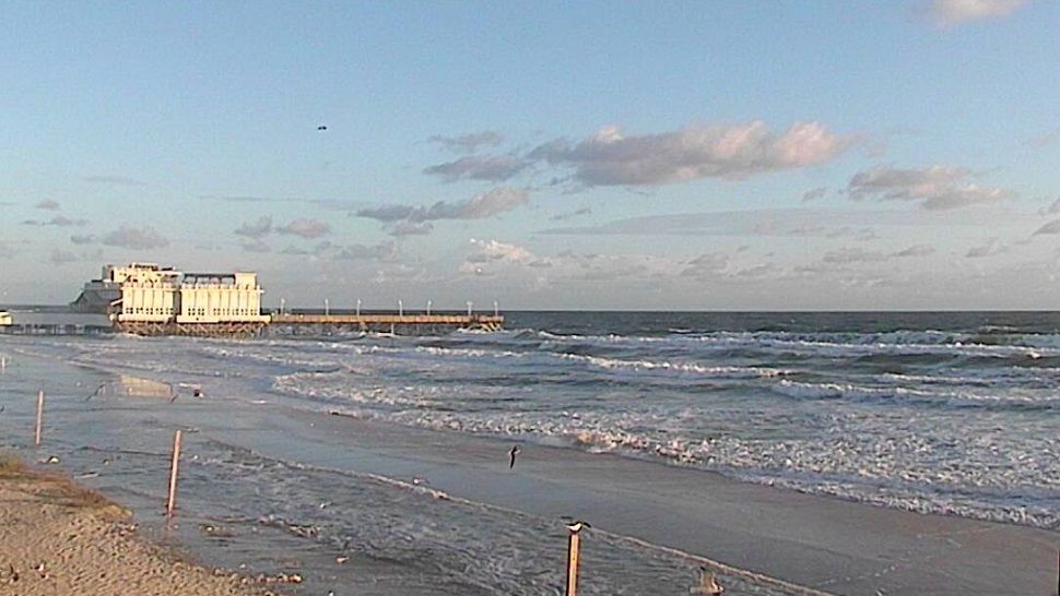
Low pressure will keep rough ocean conditions around with high waves and a strong rip current threat.
A Small Craft Advisory has been issued. Temperatures stay above average the next few days before a front brings a big cool down next week.
Tropical Update
In the tropics, a non-tropical area of low will develop this weekend well to our east. There is a chance this low could take on sub-tropical characteristics as it moves northeast toward Bermuda.
There is no concern for Florida, except rough ocean conditions the next few days.
The tropical season runs through the end of November.

We want your pictures!
Show us what the weather looks like in your neighborhood. Your photo could end up on Spectrum News 13.
- Get the Spectrum News 13 app for iOS or Android
- Tap "Submit Content" at the bottom of the app menu
- Remember to include your name and location