


ORLANDO, Fla. — There were a few pockets of sunshine Tuesday, along with scattered onshore-moving showers.
- Wednesday's highs at 90 degrees
- Occasional showers continue
- CURRENT CONDITIONS: Temperatures, heat indexes, trends
- TRACKING THE TROPICS: Formation potentials, Atlantic and Gulf satellite loops, typical storm tracks per month
- SEE BELOW: See our 7-day forecast ▼
A large ridge of high pressure stretched over the southeastern U.S. combined with Leslie east of Bermuda are keeping us in an onshore flow, with scattered showers and embedded storms quickly racing east to west again Tuesday.
We’ll see rain end early, but keep at least an isolated threat for a shower overnight closer to our coastal communities.
As another round of drier air aloft invades Central Florida, we will cut rain coverage back to around 30 percent Wednesday and Thursday. We dry out even more Friday and have removed rain chances at this time.
- View LIVE Interactive StormTracker 13 Radar Map
- View our LIVE Sky 13 Weather Cameras
- Sign up for Severe Weather Alerts
We’ll keep low-end shower and storm chances in for the upcoming weekend into early next week.
Highs will stay slightly above seasonable levels through the extended stretch, mainly reaching the upper 80s to a few lower 90s. No record highs are forecast this week. Overnight lows stay on the mild side in the lower to middle 70s.
Surfing conditions stay fairly poor the rest of this week with a mix of east to east-northeast swells and wave heights four to six feet. Dangerous rip currents will persist along our Florida coastline as well, courtesy of Leslie east of Bermuda.
Tropical Update
In the tropics, Leslie is still slowly meandering in the open Atlantic, currently located over 500 miles east of Bermuda.
Long period swells from Leslie and seas 4 to 7 feet continue creating dangerous conditions along our east coast. Leslie is expected to strengthen a little more, but is no threat to land.
Elsewhere in the tropics, we have our eye on a disturbed area of weather in the southwestern Caribbean. Strong winds aloft are inhibiting development and there is a small chance of development.
Hurricane season runs through November 30.

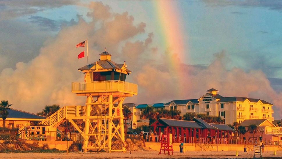
We want your pictures!
Show us what the weather looks like in your neighborhood. Your photo could end up on Spectrum News 13.
- Get the Spectrum News 13 app for iOS or Android
- Tap "Submit Content" at the bottom of the app menu
- Remember to include your name and location