


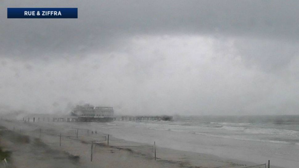
ORLANDO -- Another gloomy day for our Monday with plenty of cloud cover and scattered showers and storms.
- Don't expect sunshine to return this week
- Low pressure area developing in Caribbean
- Development chances low, but will bring rain
Some of the storms had heavy rain and frequent lightning.
We’ll drop rain chances back a bit for the next couple of days, but there will still be the potential. Highs will be warm, in the mid-80s.
Showers and storms will continue into early tonight, then quieter heading into Tuesday morning. Temperatures will be warm, falling only to around 70 degrees.
There may be a few peeks of sunshine Tuesday morning before showers and storms begin to develop. Still expect mostly cloudy skies with a decent chance of rain for the afternoon as highs climb into the low 80s.
- RELATED: StormTracker 13 INTERACTIVE radar
- WEATHER ON THE GO: Download the Spectrum News 13 app and get StormTracker 13 & Safety Net alerts wherever you are
- GET WEATHER ALERTS: Sign up to receive weather text alerts from Spectrum News 13
Afternoon showers and storms will continue through Thursday, then the chance will increase again heading into the weekend.
If heading to the beach Tuesday, the morning will be your best bet before storms begin developing. There will be a slight chop on the water and a moderate rip current threat.
In the tropics
We’re watching the potential for a disturbance to develop in the western Caribbean and move north. Intensity and direction is still very uncertain, but it does look like it will be responsible for higher rain chances for our Memorial Day weekend.
We’ll continue to monitor this disturbance and bring you updates throughout the week.
View LIVE Interactive StormTracker 13 Radar Map

We want your pictures!
Show us what the weather looks like in your neighborhood. Your photo could end up on Spectrum News 13.
- Get the Spectrum News 13 app for iOS or Android
- Tap "Submit Content" at the bottom of the app menu
- Remember to include your name and location