


ORLANDO, Fla. — Heavy rain and thunderstorms developed again across Central Florida Tuesday as an area of low pressure moved through.
- RELATED: Weather FAQ: Why Are Rip Currents Dangerous?
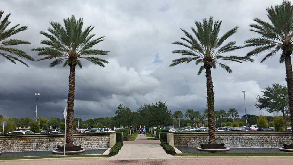
- Send us your weather photos and get the latest forecast via the Spectrum News 13 app
- CURRENT CONDITIONS: Temperatures, heat indexes, trends
- SEE BELOW: See our 7-day forecast ▼
- CALCULATE: How hot can your vehicle get? ▼
This low is now over the Atlantic and moving away, but will keep rain around overnight. High temperatures were average, climbing into the mid to upper 80s.
The low is pulling away, however. A front sliding in will keep rain chances high for a couple more days before drying back out this weekend.
Wednesday will have similar conditions, with mostly cloudy skies and temperatures in the mid to upper 80s. Scattered rain and thunderstorms will continue off and on throughout the day.
- View LIVE Interactive StormTracker 13 Radar Map
- View our LIVE Sky 13 Weather Cameras
- Sign up for Severe Weather Alerts
It looks like it will be a bit more active on Wednesday for rain and a few thunderstorms. The coverage of rain will be 70 percent tomorrow with afternoon highs in the low to mid-80s as a front approaches from the north and east.
This front will start to move farther south on Thursday. Behind this front, drier air will start to punch into Central Florida. This will lead to a downtick in the coverage of rain on Thursday afternoon. The coverage of rain will drop down to about 40 percent on Thursday.
The dry air sticks around for Friday and the weekend. So if you have outdoor plans this weekend, it is looking great to get outside. Skies will be mostly sunny with highs in the middle to upper 80s and lows will drop into the upper 60s and lower 70s.
Tropical Update
In the tropics, there are three areas of potential development; none of which are a threat to Florida. Low pressure that brought us rain Monday and Tuesday could become tropical as it moves away, along with another area of low pressure off the North Carolina coast.
The third location is between Bermuda and the Azores, but will remain over water. The next name on the list is Melissa.
Hurricane season runs through November 30.
Beach and Surf Conditions
Surfing conditions will be poor to fair tomorrow with wave heights of 3 to 4 feet and an east-northeasterly swell. There will be a medium rip current threat to keep in mind. Small crafts are encouraged to exercise caution tomorrow.
The winds will be out of the northeast at 10 to 20 knots and seas will be running 4 to 6 feet with choppy on the intracoastal.

We want your pictures!
Show us what the weather looks like in your neighborhood. Your photo could end up on Spectrum News 13.
- Get the Spectrum News 13 app for iOS or Android
- Tap "Submit Content" at the bottom of the app menu
- Remember to include your name and location