


ORLANDO, Fla. -- After a couple of comfortable days, temperatures were back above average for our Tuesday.
- Offshore breeze to send temperatures into upper 80s
- Some may approach record heat Wednesday, Thursday
- CURRENT CONDITIONS: Temperatures, heat indexes, trends
- SEE BELOW: See our 7-day forecast ▼
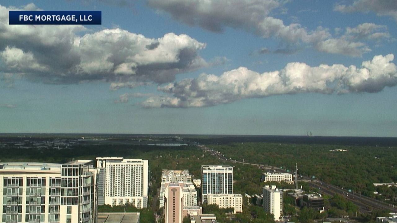
We had plenty of sunshine and wind out of the south that helped to boost highs into the mid to upper 80s. Hot temperatures stick around the next several days with only a slim chance for rain until bigger changes move in on Friday.
Mostly clear skies are in the forecast through the overnight hours. This will make for great viewing of the April Super moon. There are four super moons throughout the year and this one will be the biggest and brightest. Temperatures will be mild as we head toward daybreak; in the mid to upper 60s.
High pressure continues slowly drifting over us and will shift south as we get into Wednesday. An off-shore breeze picks up and will be a bit gusty at times during the afternoon. This will help send temperatures into the upper 80s to a few lower 90s and we may even near record territory in a few neighborhoods.
- View LIVE Interactive StormTracker 13 Radar Map
- View our LIVE Sky 13 Weather Cameras
- Sign up for Severe Weather Alerts
There is a slight shower chance in Flagler and Volusia Counties where slightly higher moisture will be in place, but the rest of us will soak up plenty of sunshine. Highs are back into the upper 80s and lower 90s Thursday with near record heat possible once again.
A cold front slipping in Friday will help bring rain coverage up to 50-percent. More clouds in place will also keep temperatures cooler in the mid to upper 70s for highs. We are keeping an isolated shower threat in the forecast Saturday, but coverage is only at 20-percent. More sun mixed in with a few clouds will allow us to boost highs into the lower 80s.
Easter Sunday also holds a slight shower chance as a warm front lifts north. Highs climb into the upper 80s to lower 90s as we celebrate the holiday. Another cold front slides by Sunday night with a shower and storm chance and slightly cooler temps Monday.
Beach and Boating Conditions
Mariners will want to use caution with seas offshore in the range of 3 to 5 feet. Winds will be from the southeast around 5 to 10 knots.
