


ORLANDO, Fla. — It's been a great end to the weekend, with sunshine and highs in the upper 80s and low 90s. The nice weather will continue this evening, with temps falling into the 70s. Expect a warm overnight, with lows in the upper 60s to low 70s.
- Cold front will push toward area
- RELATED: Weather FAQ: Why Are Rip Currents Dangerous?
- Send us your weather photos and get the latest forecast via the Spectrum News 13 app
- CURRENT CONDITIONS: Temperatures, heat indexes, trends
- SEE BELOW: See our 7-day forecast ▼
- CALCULATE: How hot can your vehicle get? ▼
Changes are on the way to start the work week. A cold front will push toward the area, bringing more moisture back into the area. This will result in scattered showers and a few storms, primarily in the PM hours. Highs for Monday will be in the mid to upper 80s.
The rain chances continue for Tuesday as the front remains near the area. Scattered showers and a few storms are again likely, with highs Tuesday in the mid to upper 80s.
The front moves through on Wednesday, bringing lower rain chances and cooler temps. Highs on Wednesday will be in the upper 70s and low 80s.
Rain chances quickly return to close the work week as the front lifts back north into the area. Scattered showers and storms will be possible Thursday and Friday, with highs in the low to mid 80s.
- View LIVE Interactive StormTracker 13 Radar Map
- View our LIVE Sky 13 Weather Cameras
- Sign up for Severe Weather Alerts
The threat for rain will continue into next weekend, with scattered activity likely.
Boaters should watch out for scattered showers and a few storm Monday, with seas 1-2 feet. Surfers will find poor conditions, with an east-southeasterly trade swell. The rip current threat will be low for Monday.
Tropical Update
All is quiet in the tropics as we move into Late October. There is no major activity in the Gulf, the Caribbean or the open waters of the Atlantic.
No major activity is expected over the next 5 days.

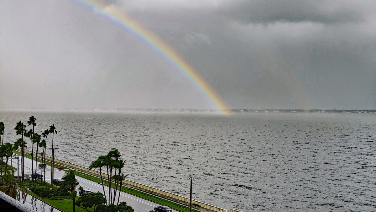
We want your pictures!
Show us what the weather looks like in your neighborhood. Your photo could end up on Spectrum News 13.
- Get the Spectrum News 13 app for iOS or Android
- Tap "Submit Content" at the bottom of the app menu
- Remember to include your name and location