


ORLANDO, Fla. — It's been a warm and fairly dry Saturday, with highs in the low 90s and just a few widely scattered showers. Some light activity will remain possible through early evening, with temps only falling into the low 80s.
- Isolated coastal shower can't be ruled out
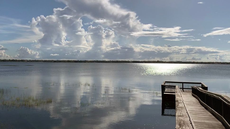
- Send us your weather photos and get the latest forecast via the Spectrum News 13 app
- CURRENT CONDITIONS: Temperatures, heat indexes, trends
- SEE BELOW: See our 7-day forecast ▼
- CALCULATE: How hot can your vehicle get? ▼
Our tropical wave begins to lift toward the area overnight. Most of the area will just see mostly cloudy skies, but an isolated coastal shower cannot be ruled out. Overnight lows will be in the mid 70s.
More warmth is on the way for Sunday. The tropical wave will enter the Atlantic and pull away from the area. This will drag more dry air into the area, so just a few widely scattered showers and storms are expected. Highs to close the weekend will be in the low 90s.
Rain chances are on the rise to start next week. Deeper tropical moisture quickly returns to the area, resulting in much better coverage of showers and storms. Highs for Monday will be in the low 90s.
- View LIVE Interactive StormTracker 13 Radar Map
- View our LIVE Sky 13 Weather Cameras
- Sign up for Severe Weather Alerts
The somewhat active weather pattern continues into the middle of next week. Morning sunshine and PM storms will be likely both Tuesday and Wednesday. Highs both days will hold in the low 90s.
There are some indications that a weak system may develop over the area to close next week. This will likely increase our rain chances for both Thursday and Friday. Temps to close the week will be in the low 90s.
Some slightly drier air may once again return for next weekend. Highs will hold in the low 90s.
Beach and Surf Conditions
Surfing conditions will be poor to fair on Saturday. There with a rising east-southeast windswell. Wave heights will be running at 2 to 3 plus feet.
The risk of rip currents is moderate and it is always best to swim within sight of lifeguard and never alone. Ocean temperatures are low to mid-80s.
The ultraviolet index is very high, which means sunburn could happen in about 15 minutes or less.
If you are boating, storms are likely. The winds will be out of the east at 15 knots. Seas will be running from 2 to 3 plus feet with a light chop on the intracoastal.
Tropical Update
A tropical wave moving along the east coast of Central Florida this weekend has a high likelihood of developing into a tropical depression later on Saturday.
Eventually this same system could become Dorian by the end of the weekend. It will move away from Central Florida as it develops further tropical characteristics.
It will also just stay off shore of the Carolina Coast as it continues to move to the northeast.
A second tropical wave east of the Lesser Antilles also has a high probability of developing into a tropical depression this weekend as it nears the Windward Islands.
However, as it crosses the Lesser Antilles and enters the Caribbean it will lose some of its organization thanks to strong wind shear in the Caribbean.
However, this will bring the chance for high winds and heavy rain to the islands as it moves through the region. The next name on the list after Dorian is Erin.
The peak of Atlantic hurricane season is Sept. 10. The season ends Nov. 30.

We want your pictures!
Show us what the weather looks like in your neighborhood. Your photo could end up on Spectrum News 13.
- Get the Spectrum News 13 app for iOS or Android
- Tap "Submit Content" at the bottom of the app menu
- Remember to include your name and location