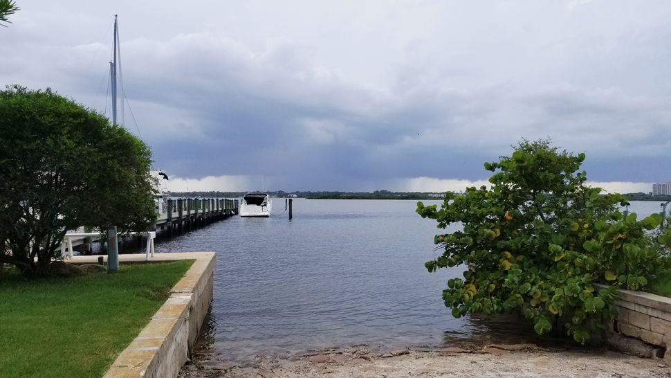
ORLANDO, Fla. — Plenty of sun mixed with clouds on this Thursday, along with hot and steamy air.
- Rain will wrap up before 8 p.m.
- RELATED: Tropical Storm Barry Forms in Gulf
- Send us your weather photos and get the latest forecast via the Spectrum News 13 app
- CURRENT CONDITIONS: Temperatures, heat indexes, trends
- SEE BELOW: See our 7-day forecast ▼
- CALCULATE: How hot can your vehicle get? ▼
Deep moisture is still feeding into the peninsula around Tropical Storm Barry in the Gulf and a large ridge of high pressure in the Atlantic.
Showers and storms sparked in this moisture and provided torrential rain and frequent lightning to some neighborhoods.
A decent chance for rain sticks around Friday and then drier air moving in for the weekend will allow us to cut rain chances back.
- View LIVE Interactive StormTracker 13 Radar Map
- View our LIVE Sky 13 Weather Cameras
- Sign up for Severe Weather Alerts
Moisture wrapping around the low to the west and high pressure east will give us a 60 percent coverage of rain Friday. As the Tropical Storm Barry moves away from Florida, drier air filters into our area.
Rain coverage drops to 30 percent from Saturday through at least the middle of next week.
Highs will be in the lower 90s Friday, and low to mid-90s Saturday through Thursday. The feels like temperature soars back above 100 too.
Beach and Surf Conditions
Surfing conditions look poor to very poor Friday with the trade swell easing a bit, and wave heights of one to two feet. The rip current threat is still moderate, and it’s always best to swim near a lifeguard.
Keep an eye on the sky for scattered storms, and when thunder roars, go indoors.
Tropical Update
Tropical Storm Barry formed Thursday in the Gulf of Mexico and could strengthen a bit as it moves west away from Central Florida. Models are honed in on the coast of Louisiana for landfall sometime Saturday morning, with watches and warnings along their coast in advance of the storm.
Get the latest details of Tropical Storm Barry here.

We want your pictures!
Show us what the weather looks like in your neighborhood. Your photo could end up on Spectrum News 13.
- Get the Spectrum News 13 app for iOS or Android
- Tap "Submit Content" at the bottom of the app menu
- Remember to include your name and location


