


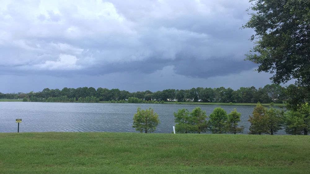
ORLANDO, Fla. — Showers and storms developed Tuesday afternoon and brought heavy rain and gusty wind to parts of Central Florida.
- Tuesday's highs at 91 degrees
- Send us your weather photos and get the latest forecast via the Spectrum News 13 app
- CURRENT CONDITIONS: Temperatures, heat indexes, trends
- SEE BELOW: See our 7-day forecast ▼
There was enough sun able to peek through to push temperatures back into the low 90s.
We’re expecting a similar setup for Wednesday with afternoon showers and storms and temperatures around 90 degrees. Rain chances back off slightly as we head toward the weekend.
Skies will become partly cloudy heading into Wednesday morning with mainly dry conditions. Temperatures will be warm, falling only into the mid to low 70s.
- View LIVE Interactive StormTracker 13 Radar Map
- View our LIVE Sky 13 Weather Cameras
- Sign up for Severe Weather Alerts
Partly sunny skies for our Wednesday morning will be quickly overtaken by clouds and scattered storms during the afternoon. Some of the storms could become strong with frequent lightning, gusty wind, and heavy rain. High temperatures will reach the low 90s.
The same is expected for Thursday, then rain chances back off slightly by Friday.
Even though the current pattern changes up a bit, there will still be afternoon storms through the weekend with temperatures in the upper 80s to low 90s.
Beach and Surf Forecast
Watch for approaching storms if heading to the beach.
Ocean conditions not looking too rough, but may be choppy with winds picking up during the afternoon.
Tropical Update
No new tropical development is expected over the next five to seven days.
Hurricane season runs through Nov. 30.

We want your pictures!
Show us what the weather looks like in your neighborhood. Your photo could end up on Spectrum News 13.
- Get the Spectrum News 13 app for iOS or Android
- Tap "Submit Content" at the bottom of the app menu
- Remember to include your name and location