


ORLANDO, Fla. — After another somewhat active Sunday, quieter weather has returned to the area.
- Temps in upper 80s and low 90s
- Send us your weather photos and get the latest forecast via the Spectrum News 13 app
- CURRENT CONDITIONS: Temperatures, heat indexes, trends
- SEE BELOW: See our 7-day forecast ▼
- SEE BELOW: Tropical Update ▼
- CALCULATE: How hot can your vehicle get? ▼
The quiet conditions will continue overnight, with mostly clear skies. Overnight lows will be in the low to mid 70s.
The active weather continues as we move into Monday. The deep tropical moisture we’ve been tracking remains in place, resulting in an elevated chance for showers and storms.
Highs for Monday will be in the upper 80s and low 90s.
- View LIVE Interactive StormTracker 13 Radar Map
- View our LIVE Sky 13 Weather Cameras
- Sign up for Severe Weather Alerts
The rain and storm threat continues into midweek. Once again, expect a quiet morning with fairly decent coverage of showers and storms by afternoon. Highs for Tuesday and Wednesday will be in the low 90s.
Some slightly drier will arrive for Thursday and Friday, reducing rain chances. Some PM showers and storms are expected in the afternoon, but rain coverage will be lower. Temps both days will be in the low 90s.
There remains some uncertainty about next weekend. Some tropical moisture does look to return to the area, which could increase rain chances. Right now, the best chance for activity will be on Sunday with highs both weekend days in the low 90s.
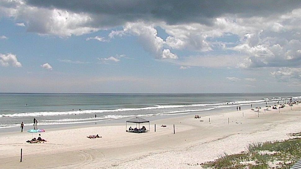
Boating and Surf Conditions
Boaters should once again watch out for showers and storms in the PM hours, with a slight southerly breeze and seas 2-3 feet. Surfers will have poor-to-fair conditions, with an east-southeasterly swell. The rip current threat is moderate for Monday, with Atlantic water temps in the low to mid 80s.
Tropical Update
The tropical wave we have been tracking is no longer a concern to develop. There is no major activity in the Gulf, the Caribbean and open waters of the Atlantic.
No major activity is expected over the next 5 days.


We want your pictures!
Show us what the weather looks like in your neighborhood. Your photo could end up on Spectrum News 13.
- Get the Spectrum News 13 app for iOS or Android
- Tap "Submit Content" at the bottom of the app menu
- Remember to include your name and location