


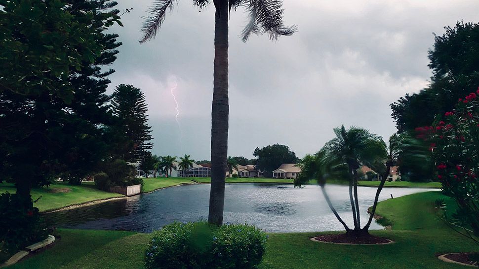
ORLANDO, Fla. — Our unsettled Saturday stretched into the evening, with widespread rain and storms across the area.
- Storms possible overnight
- More rain, storms likely for Sunday
- Send us your weather photos and get the latest forecast via the Spectrum News 13 app
- CURRENT CONDITIONS: Temperatures, heat indexes, trends
- SEE BELOW: See our 7-day forecast ▼
Showers and even a few storms will remain possible overnight, with warm lows in the low to mid 70s.
Sunday will also feature plenty of rain and storms. The deep tropical moisture remains in place across the area, resulting in widespread showers and storms. Highs for Sunday will be in the mid to upper 80s under mostly cloudy skies.
- View LIVE Interactive StormTracker 13 Radar Map
- View our LIVE Sky 13 Weather Cameras
- Sign up for Severe Weather Alerts
The unsettled weather pattern continues into next week. More showers and storms are likely Monday, but coverage will a bit lower than the weekend. Highs for Monday will be in the upper 80s and low 90s.
Rain chances tick down for the middle of next week. Some slightly drier air will move in, but scattered showers and storms will still be likely. Temps for Tuesday and Wednesday will be in the low 90s.
The active weather pattern continues into Thursday and Friday, although more scattered activity is expected. Highs both days will be in the upper 80s and low 90s.
It does looks like an easterly wind will develop next weekend, which will result in lower rain chances. Highs will be in the low 90s.
Tropical Update
Things remains very quiet as we close out the second week of hurricane season. There is no activity in the Gulf, the Caribbean or the open waters of the Atlantic.
No major activity is expected over the next five days.

We want your pictures!
Show us what the weather looks like in your neighborhood. Your photo could end up on Spectrum News 13.
- Get the Spectrum News 13 app for iOS or Android
- Tap "Submit Content" at the bottom of the app menu
- Remember to include your name and location