


ORLANDO, Fla. — Early afternoon storms — some producing damaging wind gusts, small hail, and torrential rain — moved east across the area Tuesday, knocking out power to some areas and and even toppling an occupied RV.
- 6 people inside RV when it was blown over
- Semi truck also seen knocked over nearby
- Send us your weather photos via the Spectrum News 13 app
- CURRENT CONDITIONS: Temperatures, heat indexes, trends
- SEE BELOW: See our 7-day forecast ▼
A slow moving wind shift line sliding across central Florida Tuesday split our area between deep atmospheric moisture and strong storms, and dry air aloft with plenty of sun.
Thunderstorm warnings were issued for several counties, including Orange and Osceola counties. Hundreds of power outages were reported by OUC, Duke Energy, and Florida Power and Light.
In Lake County, near the Polk County border, strong wind blew over an RV at the Lake Magic RV Resort near U.S. 192 and U.S. 27.
Six people, including two children, were inside the RV when it overturned at about 12:30 p.m.
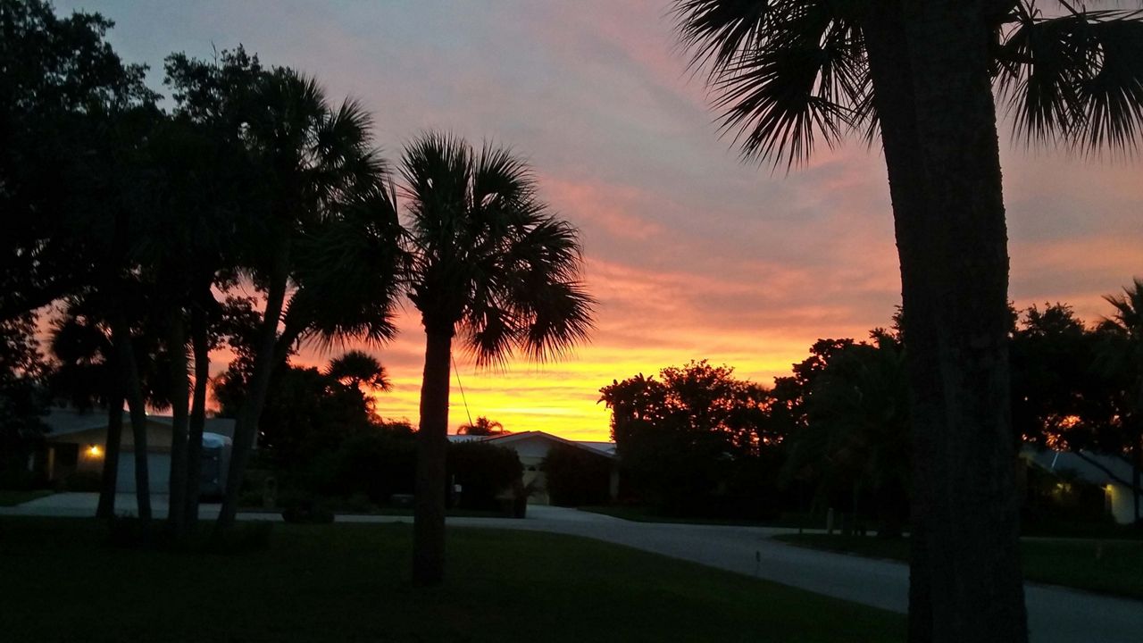
Any evening storms still lingering end quickly, while the rest of central Florida enjoys a gorgeous evening.
- View LIVE Interactive StormTracker 13 Radar Map
- View our LIVE Sky 13 Weather Cameras
- Sign up for Severe Weather Alerts
High pressure builds into the region Wednesday, nudging dry air aloft over more of the peninsula. We’ll keep an isolated shower chance in southern Osceola and Brevard County due to the proximity of the front.
Overall, we’re forecasting a mostly sunny sky from Wednesday through next Monday, with highs either side of 90. Our next slight chance for a shower doesn’t enter the picture until potentially Sunday or Monday with sea breeze collisions.
Beach and surf forecast
We’ll have a decent setting for boaters, but surfers can expect poor conditions over the next several days thanks to a minor east-northeast swell.
Wave heights of one to two feet are in the forecast and a low to occasionally moderate rip current threat exists. The UV index is extreme, which means under 10 minutes to burn.

We want your pictures!
Show us what the weather looks like in your neighborhood. Your photo could end up on Spectrum News 13.
- Get the Spectrum News 13 app for iOS or Android
- Tap "Submit Content" at the bottom of the app menu
- Remember to include your name and location