


ORLANDO, Fla. — Chilly temperatures early Friday morning with most in the mid to low 40s. We did have some of our northern areas drop in the upper 30s.
- Bright and cool end to the week
- Unseasonably cool weekend
- Lowering temperatures
- PHOTOS: Gusty storms damage homes, zoo
- CURRENT CONDITIONS: Temperatures, heat indexes, trends
- SEE BELOW: See our 7-day forecast ▼
We had a lot of sunshine throughout the afternoon, but highs only reached to around 60 degrees.
We’ll stay unseasonably cool this weekend with highs in the mid to low 60s. There may be a few clouds around Saturday, but we stay dry. There is a chance for showers on Sunday.
A few high clouds will stick around overnight as winds continue to bring in some chillier air from the north. Lows will once again fall into the mid to low 40s with a few spots down in the upper 30s.
- View LIVE Interactive StormTracker 13 Radar Map
- View our LIVE Sky 13 Weather Cameras
- Sign up for Severe Weather Alerts
Temperatures will be slightly warmer Saturday afternoon, but still unseasonably cool. Highs will only reach the mid to low 60s under partly cloudy skies.
We’ll actually increase clouds late in the day as low pressure over the Florida Straits begins to move north. This low will bring a decent chance for rain Sunday as it moves northeast.
Highs Sunday will drop back to around 60 degrees to end the weekend. Temperatures stay unseasonably cool for the majority of next week.
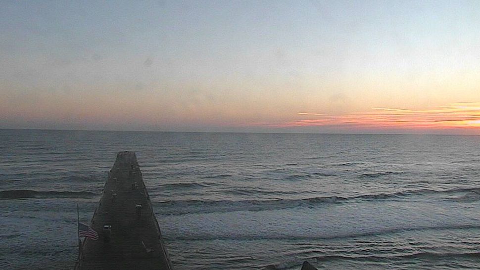
Surf and Beach Conditions
While ocean conditions will be less hazardous Saturday, there’s still a moderate chop expected, along with an elevated rip current threat.
WE WANT YOUR PICTURES!
Show us what the weather looks like in your neighborhood. Your photo could end up on Spectrum News 13.
- Get the Spectrum News 13 app for iOS or Android
- Tap "Submit Content" at the bottom of the app menu
- Remember to include your name and location
