


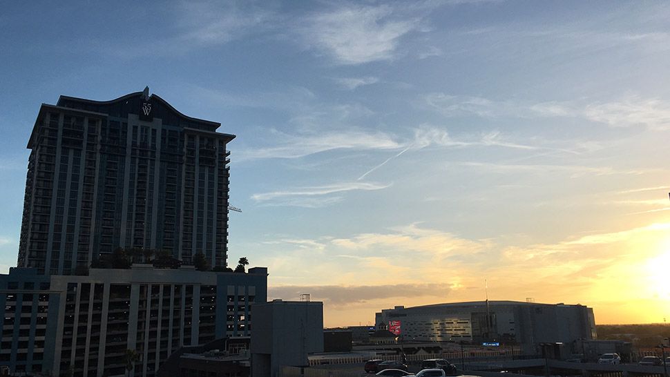
ORLANDO, Fla. — After a chilly start to our Tuesday, temperatures rebounded quickly and made it into the low 70s for most.
- Temps drop into the 50s, 60s overnight
- Highs in the 70s Wednesday
- CURRENT CONDITIONS: Temperatures, heat indexes, trends
- SEE BELOW: See our 7-day forecast ▼
There were a few clouds around, but a lot of sunshine throughout the afternoon. With the approach of our next system, we’ll see a few more clouds Wednesday and a slight chance for a few showers. A lot of the rain will hold off until the actual front moves through Thursday.
Partly cloudy skies will stick around overnight as temperatures drop. It will not be as chilly, but lows will fall into the upper 50s to low 60s.
- View LIVE Interactive StormTracker 13 Radar Map
- View our LIVE Sky 13 Weather Cameras
- Sign up for Severe Weather Alerts
Wednesday will be a warm day with temperatures quickly climbing into the mid to upper 70s. There will be a few more clouds moving in during the afternoon as a front moves closer from the west.
There’s a slight chance for an isolated shower Wednesday afternoon, but the rain will hold off until Thursday morning as the actual front moves through. Heavy rain and some rumbles of thunder will be possible. Behind this front, we’ll see temperatures dropping back down into the mid to low 60s as we head toward the weekend.
WE WANT YOUR PICTURES!
Show us what the weather looks like in your neighborhood. Your photo could end up on Spectrum News 13.
- Get the Spectrum News 13 app for iOS or Android
- Tap "Submit Content" at the bottom of the app menu
- Remember to include your name and location
