


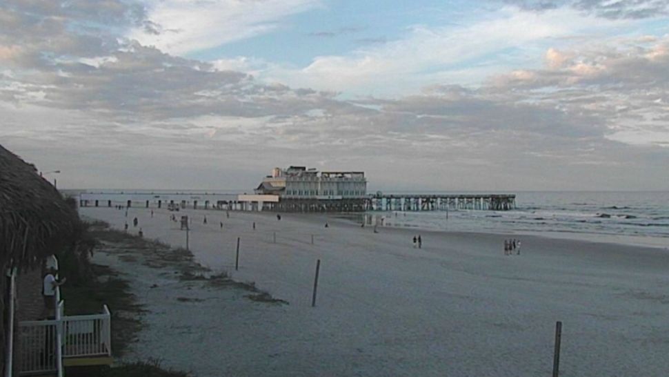
ORLANDO, Fla. — The great weather has continued this evening, with just a few clouds across the area.
- Few sprinkles possible Sunday, but most of area dry
- Cold front begins to push toward area Sunday
- CURRENT CONDITIONS: Temperatures, heat indexes, trends
- SEE BELOW: See our 7-day forecast ▼
Patchy fog will likely develop towards daybreak, with overnight lows in the low to mid 60s.
We close the weekend with more warmth across the area. A cold front will begin to push toward the area on Sunday. Ahead of the front, temps will climb into the upper 70s and low 80s. A few sprinkles will also be possible Sunday, but the majority of the area will stay dry.
Behind the front, another round of cooler air is expected for the area. We’ll start the work week Monday with mostly sunny skies and dry conditions. Highs for Monday will be in the low 70s.
- View LIVE Interactive StormTracker 13 Radar Map
- View our LIVE Sky 13 Weather Cameras
- Sign up for Severe Weather Alerts
Even more cool air moves in for midweek. The sunshine will continue for Tuesday and Wednesday, but highs will only climb into the mid and upper 60s.
Another warming trend will get going late next week. The dry conditions will continue Thursday and Friday, with warmer temps. Highs both days will be in the low to mid 70s.
Our next storm system will likely arrive late next weekend, with temps holding in the 70s.

We want your pictures!
Show us what the weather looks like in your neighborhood. Your photo could end up on Spectrum News 13.
- Get the Spectrum News 13 app for iOS or Android
- Tap "Submit Content" at the bottom of the app menu
- Remember to inclu
- de your name and location