


ORLANDO, Fla. — Temperatures were a bit chilly Monday morning with most in the mid to upper 40s.
- Will warm up Tuesday into low 70s
- Another cold front to arrive midweek
- CURRENT CONDITIONS: Temperatures, heat indexes, trends
- SEE BELOW: See our 7-day forecast ▼
We had plenty of sunshine for the afternoon, but highs only reached the mid to upper 60s.
We’ll gradually warm back up over the next few days with sunshine sticking around through mid-week.
Our next system is expected to move in late Wednesday and bring a decent chance for showers and storms Thursday. We’ll have to watch this system for the potential of severe weather.
A few high clouds will stick around overnight, but expect mostly clear skies. Temperatures will be chilly, falling into the mid to upper 40s.
After a chilly start to our Tuesday, plenty of sunshine will help to warm us into the upper 60s to low 70s for the afternoon.
- View LIVE Interactive StormTracker 13 Radar Map
- View our LIVE Sky 13 Weather Cameras
- Sign up for Severe Weather Alerts
Our warm up will continue through Thursday, but our next system will change things up a bit for the end of the week. Rain chances begin to increase late Wednesday and will be likely Thursday.
There is also a risk for storms, some of which could be severe. Timing of storms is uncertain at this time, but will become clearer a little closer.
A few leftover showers will stick around Friday and then we’ll clear out for the weekend with highs dropping into the mid to upper 60s again.
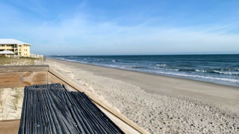
Surf Conditions
Beach and boating conditions look favorable for Tuesday with calm water and a low rip current threat.

We want your pictures!
Show us what the weather looks like in your neighborhood. Your photo could end up on Spectrum News 13.
- Get the Spectrum News 13 app for iOS or Android
- Tap "Submit Content" at the bottom of the app menu
- Remember to include your name and location