


ORLANDO, Fla. — It was a hot start to our work week with temperatures quickly climbing into the low to mid 90s and our feels like temperatures above 100.
- Feels like temps above 100
- Chance of afternoon storms around 40%
- TRACK THE TROPICS: Formation potentials, satellite loops, typical storm tracks
High pressure sliding over Central Florida Monday kept our winds fairly light and allowed the east coast sea breeze to move inland a little faster throughout the afternoon.
There were a few showers and storm that developed along the sea breezes, but wrapped up early.
The other big story is the intense heat. Temperatures climbing into the low to mid 90s Monday afternoon weren’t too far off record levels in a couple cities. The feels-like temperatures climbed up around 100 to 106, making it feel even worse.
Not much change is expected Tuesday, but a trough of low pressure is set to sag into the state by Wednesday.
- View LIVE Interactive StormTracker 13 Radar Map
- View our LIVE Sky 13 Weather Cameras
- Sign up for Severe Weather Alerts
We’re still keeping rain and rumble coverage around 40 percent right through Saturday, with the best chances developing in the heat of the mid-afternoon. Highs are also set to stay in the lower 90s into the weekend.
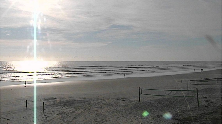
Our surfcast the next couple days looks fair to poor, with the best conditions the first half of the day. Wave heights lower just a bit Tuesday and Wednesday, but will still be around two to three feet high.
Long period swells continue providing a high rip current risk, so use extra caution if getting in the water.
TROPICAL UPDATE
In the tropics, we are rapidly quieting down although watching a couple minor areas.
Florence is accelerating across the Ohio Valley as a post-tropical storm. It’s set to bring heavy rain from West Virginia to Massachusetts.
Joyce is spinning near the Azores as a weak tropical depression and is no threat to land.
Hurricane season runs through November 30.

We want your pictures!
Show us what the weather looks like in your neighborhood. Your photo could end up on Spectrum News 13.
- Get the Spectrum News 13 app for iOS or Android
- Tap "Submit Content" at the bottom of the app menu
- Remember to include your name and location