


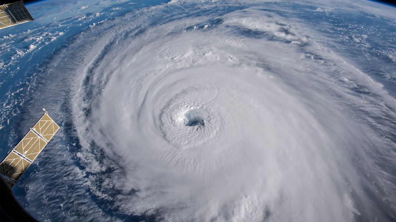
Over the last century, huge advancements in technology have allowed meteorologists to study hurricanes and the surrounding atmospheric conditions.
Now meteorologists know the favorable or unfavorable conditions for them to form and strengthen. They also have detailed records of a storm's track and intensity.
But hurricanes dating back to the early 1900s or 1800s or even way earlier remain somewhat of a mystery. However, researchers have revealed they have found potential links to information from storms of the past. Those links are through blue holes.
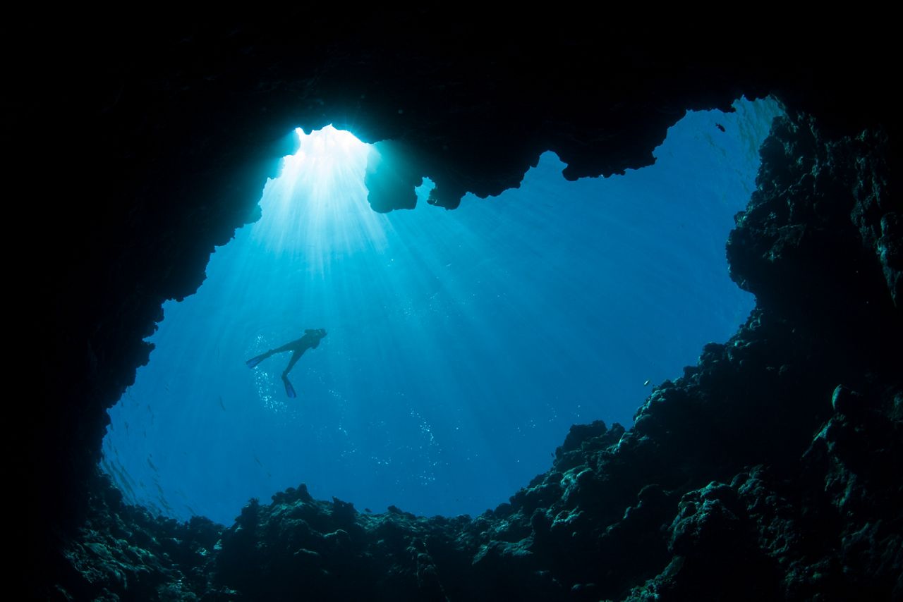
We know the Caribbean for its pristine beaches and turquoise waters. Dwellers and thrill-seekers alike find joy snorkeling and scuba diving in the offshore shallow waters, exploring the plentiful marine life and habitats under the sea.
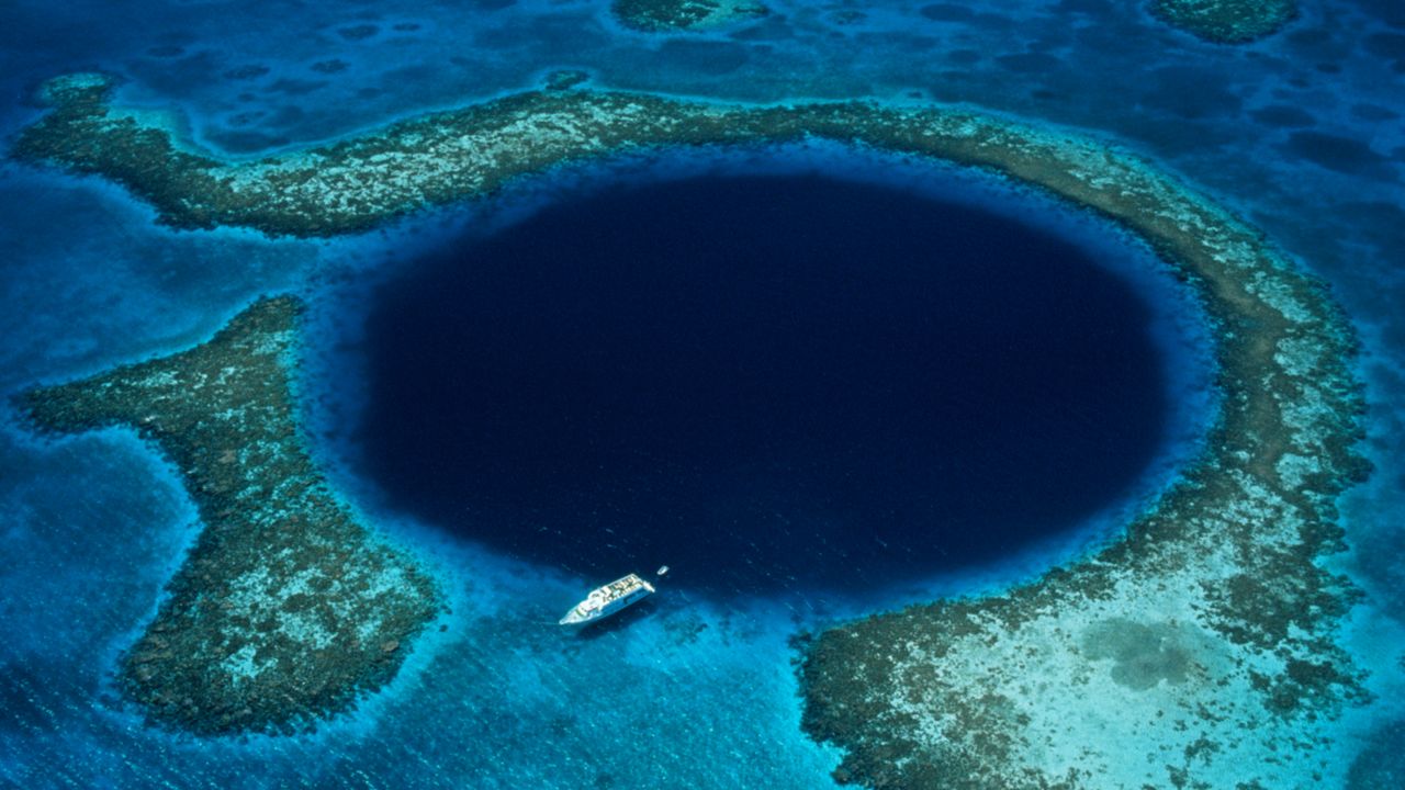
That is until they reach a massive dark hole. A blue hole.
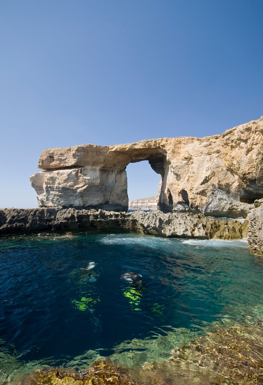
Several blue holes dot the globe. Although the popular ones, such as the Great Blue Hole of Belize and the Blue Hole of Gozo on the Maltese archipelago in the Mediterranean, serve as tourist hotspots.
While visually appealing from above, blue holes also act as portals of the past, each archiving evidence from previous events. Specifically speaking, hurricanes.
Blue holes are sink holes under a body of water, which develop after years of erosion and the eventual collapse of the supporting terrain. Most of today's blue holes formed during the last ice age, where rising sea levels account for submerging the hole under water.
While some are more famous than others, there are several blue holes throughout the planet that are unidentified- each ranging in size, depth and composition.
Some of the larger ones, like the Great Blue Hole of Belize, can span up to nearly a 1,000 feet wide and nearly 400 feet deep.
Among exploring their great depths, these mysterious holes are a rich haven for multiple levels of research. Those willing to dive deep found that the sediment at the bottom of these holes revealed interesting evidence of past events.
Even though the sediment at the base of the hole isn't exactly thrilling from an outsider's perspective, its layers hold valuable information dating back to over a thousand years.
Similar to ice core samples, scientists extract sediment core samples from the bottom of these holes, where they can then analyze and date the different layers in the sample.
Given the lack of life and activity at the bottom, blue holes are an ideal place for pulling up sediment samples. Much of what falls in sinks to the base of the hole, where it remains undisturbed and becomes part of the next layer of sediment.
This allows for better accuracy when examining and dating the layers in the core sample.
A period of calm weather would limit underwater motions. As a result, only smaller particles will get pushed into the hole, forming a layer of fine-grained particles.
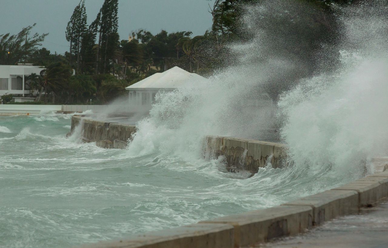
On the contrary, larger debris particles, including broken shells and other organic matter, fall down into the holes, when a powerful tropical cyclone tracks nearby. This creates much 'coarser' layers in the sediment.
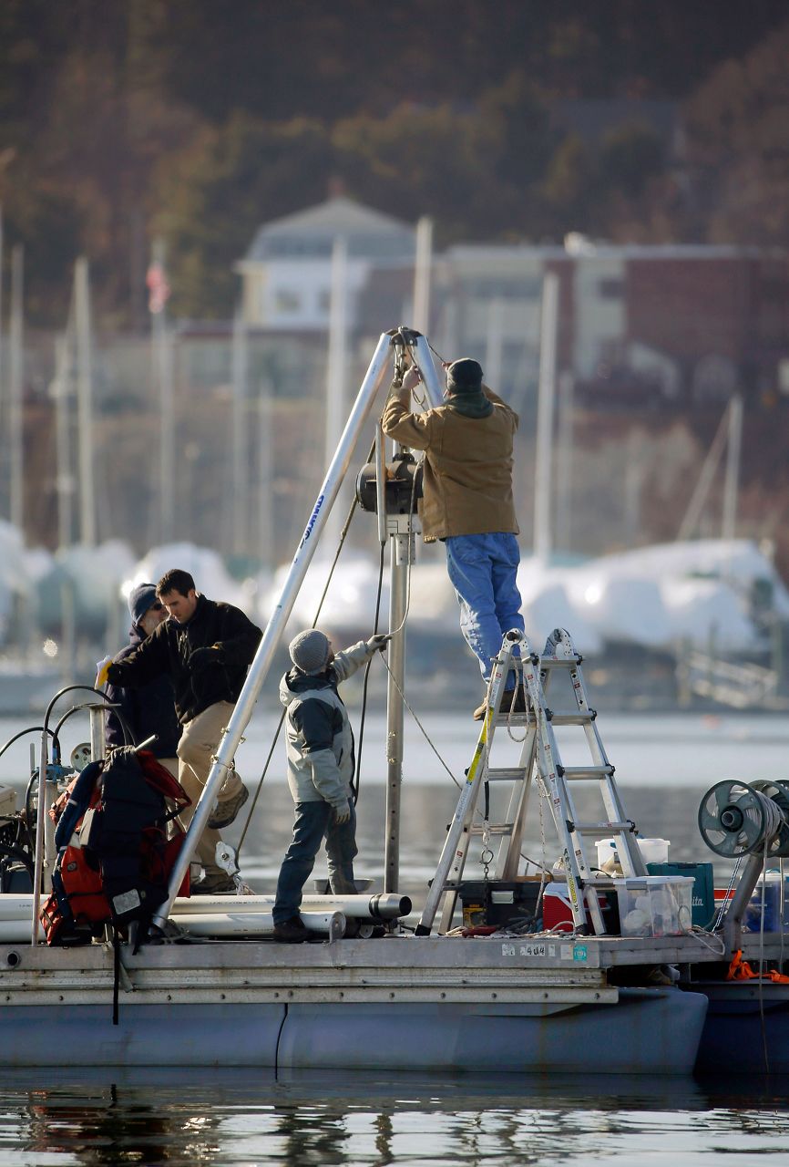
A team of researchers associated with the Woods Hole Oceanographic Institution continues to locate and study the many blue holes of the Caribbean, a hurricane hotspot, by extracting sediment core samples.
In their findings, the team identified coarser layers, or what they refer to as "hurricane layers", in each of the core samples, all of which dated back to around similar timeframes.
Interestingly enough, the years showing the most "activity" predate the 1400s. After that, core samples revealed a steep drop off in activity.
This makes sense, too, given that this was around the same time the Little Ice Age began- a period where increased volcanic activity lead to a global cool-down. Cooler air and water temperatures during this time would explain a reduction in tropical storms and hurricanes.
Core data still suggests that overall activity remains relatively low compared to years prior to the Little Ice Age. Yet, climate scientists fear a warming planet will lead to an uptick in stronger hurricanes.
The data from blue holes has its limits. Even though we might draw some conclusions and correlations from one core sample, it doesn't paint the whole picture- the data extracted is localized and doesn’t account for weaker storms.
Core layers with finer debris particles don't suggest that this was "inactive" year. Instead, it suggests that no big storms ravaged that area at that time.
The same is true for layers consisting of coarser debris particles- just because a big storm may have impacted that area, doesn't mean that it was an active year either.