


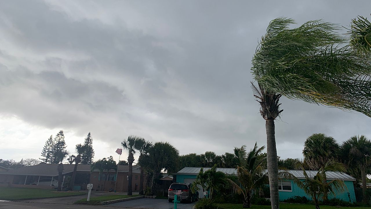
Severe weather threat has ended for Central Florida.
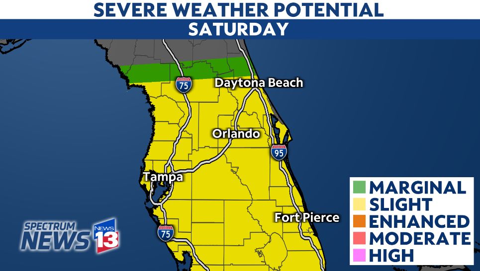
Parts of Central Florida are under a slight risk (level 2/5) of severe weather Saturday afternoon and evening. We will monitor storm development along the east coast sea breeze by early afternoon, then turning our attention to widespread storms moving in from the Gulf of Mexico by mid-to-late afternoon into the evening.
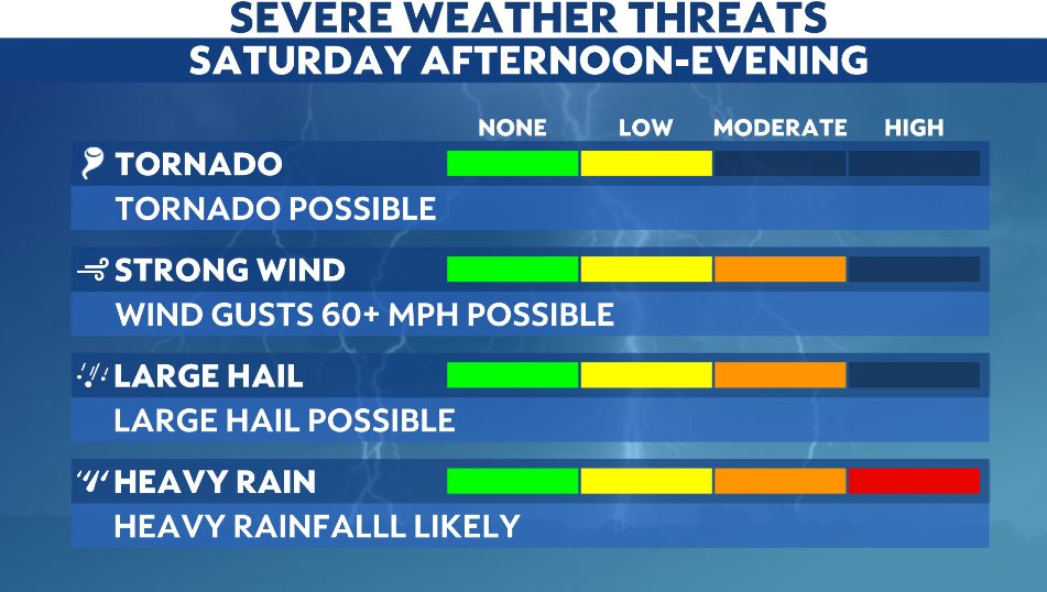
The primary threats of the storms will be damaging winds with gust over 60 mph, torrential rain, and up to quarter-sized hail or larger. The risk for tornadoes is lower, but a few tornadoes will be possible.
Rain chances start to fade on Sunday, with a mix of sun and clouds for the second half of the weekend.
We encourage anyone who has plans this weekend to stick with us for updates. Sign up for weather notifications to keep tabs on the storm.