


The strong wind Central Florida has been dealing with to start our work week will eventually come down early tonight, and under a clear sky, our lows are set to drop quickly.
- Monday night lows to drop into 40s
- Warm days, cool nights
- SEE BELOW: See our 7-day forecast ▼
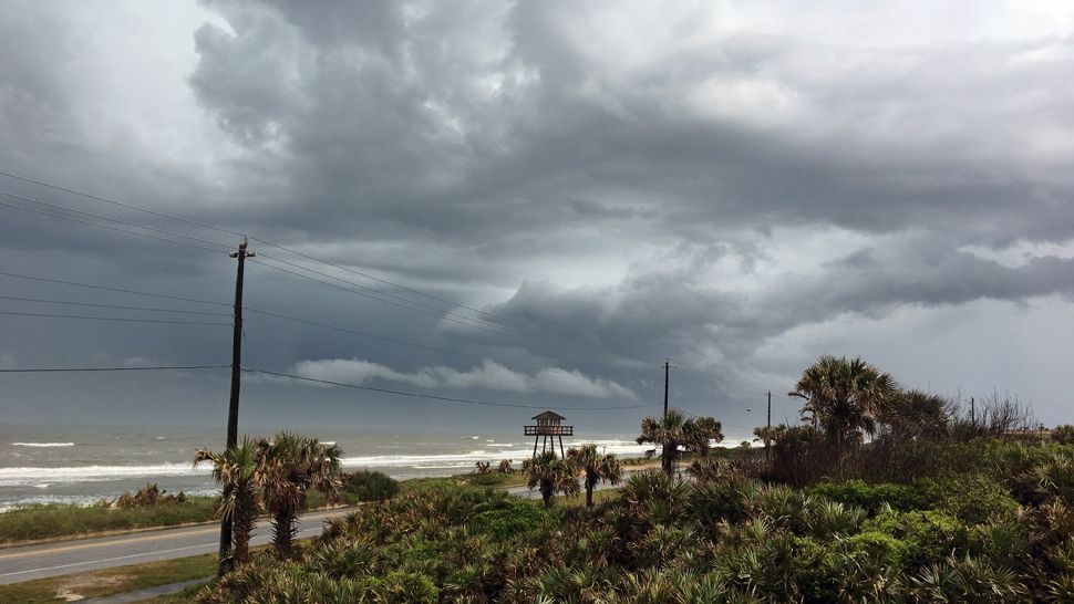
The cold front responsible for a round of strong storms across Central Florida Sunday is now well to our south. In its wake, a much cooler and drier airmass settled into the region.
We’ll have a clear and starry sky overnight, and as the wind dies down, a quick drop in temperatures. Widespread lows in the 40s may even cause your furnace to kick in at some point as we head toward daybreak.
As high pressure builds back across the region, the warmth will quickly return Tuesday with a mostly sunny sky and highs in the 70s to around 80. By Wednesday, highs are warming back into the low to mid-80s under a sunny sky.
- WEATHER ON THE GO: Download the Spectrum News 13 app and get StormTracker 13 & Safety Net alerts wherever you are
- GET WEATHER ALERTS: Sign up to receive weather text alerts from Spectrum News 13
We’ll keep the mid-80s around Thursday and into the upcoming weekend. Dry conditions also stick around thanks to the ridge of high pressure overhead. Our next chance for some rain is at 30 percent Sunday afternoon, with a better round possibly coming in Monday as another storm system nears.
An east-southeast trade swell and local windswell mix will create poor to fair surfing conditions Tuesday. Wave heights of two to three feet will be chopped up a bit, and not the best to catch.
The rip current threat is moderate once again, so be careful if swimming. Sea surface temps have warmed a bit into the upper 60s to mid-70s along our east coast.
View LIVE Interactive StormTracker 13 Radar Map

We want your pictures!
Show us what the weather looks like in your neighborhood. Your photo could end up on Spectrum News 13.
- Get the Spectrum News 13 app for iOS or Android
- Tap "Submit Content" at the bottom of the app menu
- Remember to include your name and location