


After a pleasant Friday, it’s been a warm evening with temps only falling into the 70s.
- Warmup continues Saturday
- Watch out for strong Sunday storms
- SEE BELOW: See our 7-day forecast ▼
Expect a mild night overnight, with morning lows only in the mid 60s. A few clouds will persist and an isolated sprinkle along the Brevard is possible.
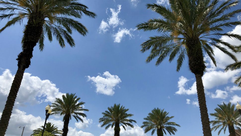
The warm-up continues to start the weekend Saturday. We’ll see a blend of sun and clouds throughout the day along with a few scattered showers developing in the afternoon. Highs for Saturday will soar into the upper 80s, with a few 90s possible southwest of Orlando.
- WEATHER ON THE GO: Download the Spectrum News 13 app and get StormTracker 13 & Safety Net alerts wherever you are
- GET WEATHER ALERTS: Sign up to receive weather text alerts from Spectrum News 13
Storms are still on track to impact the area on Sunday. A powerful cold front will march into the area, bringing a line of strong storms through Central Florida. Right now, the best chance for storms will be in the PM hours.
All of Central Florida is under a Slight Risk for severe weather, which means a few strong storms will be possible. Highs for Sunday will be in the mid 80s ahead of the storms.
Better weather is ahead for next week. Expect clearing skies on Monday with breezy conditions. Highs for Monday will only be in the mid 70s.
The comfortable air continues heading into the middle part of next week. Tuesday and Wednesday will feature plenty of sun and highs in the upper 70s to low 80s.
Another cold front will arrive next Friday, which could a few isolated showers to the area.
View LIVE Interactive StormTracker 13 Radar Map

We want your pictures!
Show us what the weather looks like in your neighborhood. Your photo could end up on Spectrum News 13.
- Get the Spectrum News 13 app for iOS or Android
- Tap "Submit Content" at the bottom of the app menu
- Remember to include your name and location