


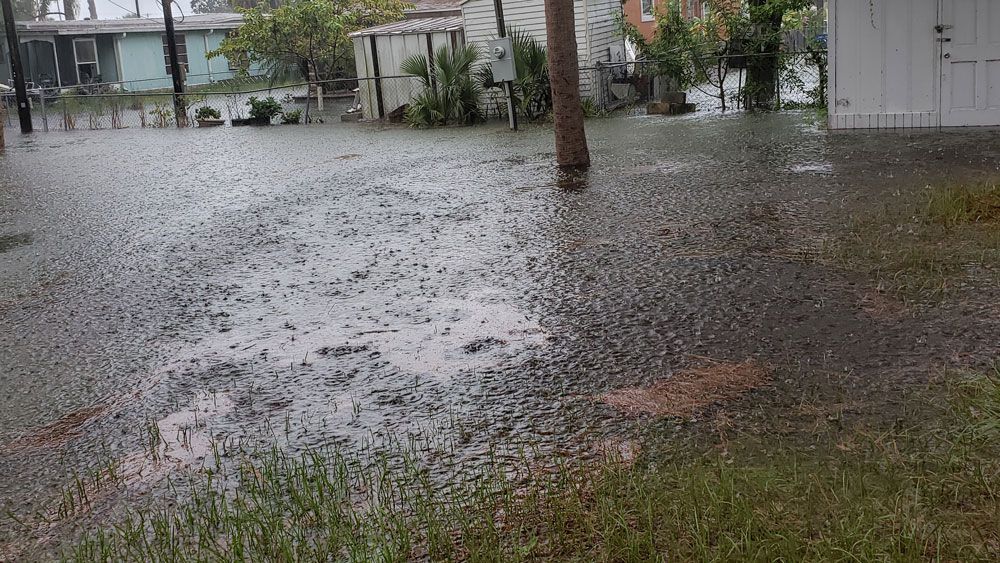
ORLANDO, Fla. — An atypical weather pattern setup across Central Florida last week brought widespread, copious amounts of rain to the region.
- Central Fla. has experienced heavy rain, longer-lasting periods of rain
- READ MORE: Spectrum News 13's Weather Blog
- STORM SEASON 2019: Interactive Storm Tracker | Latest News
Our winds shifted to the west and southwest in mid-August.
This wind flow pattern tapped into abundant tropical moisture to deliver rain and storms that would start before noon and last well into the evening.
This is not the usual summertime pattern for Central Florida. Normally, the rain starts late in the afternoons and wraps up around sunset.
Generally, the daily rounds of storms are triggered by the east and west coast sea breezes that collide over inland areas and produce heavy downpours.
This leads to a few places picking up a lot of rain while others miss out.
Through mid-August, not many places missed out on the heavy rain and longer-lasting periods of rain.
In fact, Leesburg, Daytona Beach, and Melbourne have all experienced one of their top 10 rainiest Augusts on record to date. (August 1 through August 19)
All of the main observation sites have picked up more rain than average through this point too.
Here’s the rundown:
Rainfall Totals & Ranks from August 1 to August 19
LEESBURG: 1st rainiest on record to date
- 2019 total to Date: 8.48”
- Avg. thru Aug. 19th: 4.54”
DAYTONA BEACH: 7th rainiest on record to date
- 2019 total to Date: 6.93”
- Avg. thru Aug. 19th: 3.74”
MELBOURNE: 10th rainiest on record to date
- 2019 total to Date: 6.24”
- Avg. thru Aug. 19th: 4.71”
SANFORD: 17th rainiest on record to date
- 2019 total to Date: 5.50”
- Avg. thru Aug. 19th: 4.49”
ORLANDO: 29th rainiest on record to date
- 2019 total to Date: 5.58”
- Avg. thru Aug. 19th: 4.50”
Records for Orlando go back to 1892, 1923 in Daytona Beach, 1948 in Sanford, 1937 in Melbourne, and 1998 in Leesburg.