


ORLANDO, Fla. — Under another sun-filled day, temperatures warmed into the low 90s inland and upper 80s along the east coast.
- The high for Friday is 92 degrees
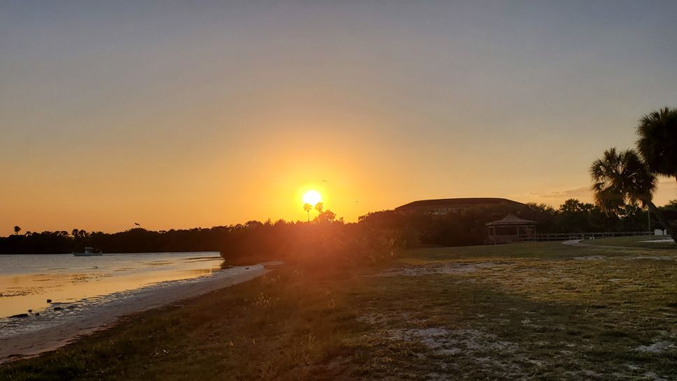
- Send us your weather photos and get the latest forecast via the Spectrum News 13 app
- CURRENT CONDITIONS: Temperatures, heat indexes, trends
- SEE BELOW: See our 7-day forecast ▼
With a strong area of high pressure expected to remain in place, we’ll see similar conditions for Friday and into our holiday weekend. Early next week, however, temperatures will be even hotter; reaching the mid-90s for most and some spots close to 100 degrees.
Mostly clear skies are in the forecast through the overnight hours. Temperatures will be mild, falling into the upper 60s for most.
- View LIVE Interactive StormTracker 13 Radar Map
- View our LIVE Sky 13 Weather Cameras
- Sign up for Severe Weather Alerts
Sunny skies will continue for Friday as temperatures quickly climb into the upper 80s to low 90s. We’ll stay quiet for our entire holiday weekend with high pressure remaining in control.
Lots of sunshine to be expected with hot temperatures. In fact, highs by Memorial Day will reach the mid-90s with some locations potentially reaching 100 degrees. This will be the case for a good portion of next week with no big changes in sight.
Beach and Surf Forecast
Grab the sunscreen if heading to the beach! The UV index is extreme once again. Breezy winds will also create a chop on the water and there is a moderate rip current threat.

We want your pictures!
Show us what the weather looks like in your neighborhood. Your photo could end up on Spectrum News 13.
- Get the Spectrum News 13 app for iOS or Android
- Tap "Submit Content" at the bottom of the app menu
- Remember to include your name and location