


ORLANDO, Fla. — We’re getting a taste of summertime heat, thanks to an expanding ridge of high pressure over the southeast.
- Summer-time pattern to continue
- Subtropical Storm Andrea forms
- Send us your weather photos and get the latest forecast via the Spectrum News 13 app
- CURRENT CONDITIONS: Temperatures, heat indexes, trends
- SEE BELOW: See our 7-day forecast ▼
Highs climbed into the upper 80s and lower 90s area wide, with just a few isolated downpours that developed off shore and along the westward moving east coast sea breeze.
Any isolated showers and storms with us this evening quickly come to an end after sunset, with a mainly clear sky overnight.
We’re soaking up more sun Tuesday into next week as highs top the 90s. Our hot stretch may have you planning some beach time, especially with a holiday weekend ahead. Plan on bringing plenty of water to keep yourself hydrated, and don’t forget the sunscreen.
- View LIVE Interactive StormTracker 13 Radar Map
- View our LIVE Sky 13 Weather Cameras
- Sign up for Severe Weather Alerts
Drier air in the mid to upper levels of the atmosphere will allow us to remain rain-free for at least the next week, with sunshine in the forecast each day and a mostly clear sky at night.
Daytime highs are typically in the upper 80s, and we’ll climb above that into the low to mid-90s. At least one of our weather models tries heating us into the upper 90s, but we’ll hold off for now since we’re several days out.
TROPICAL UPDATE
An area of low pressure near the Bahamas we’ve had our eyes on for the past few days has now been upgraded to a Subtropical Storm Andrea. This is the first named storm, and the official start the hurricane season is still 12 days away.
Andrea will move north, allowing for this heat ridge to encompass the southeastern U.S.
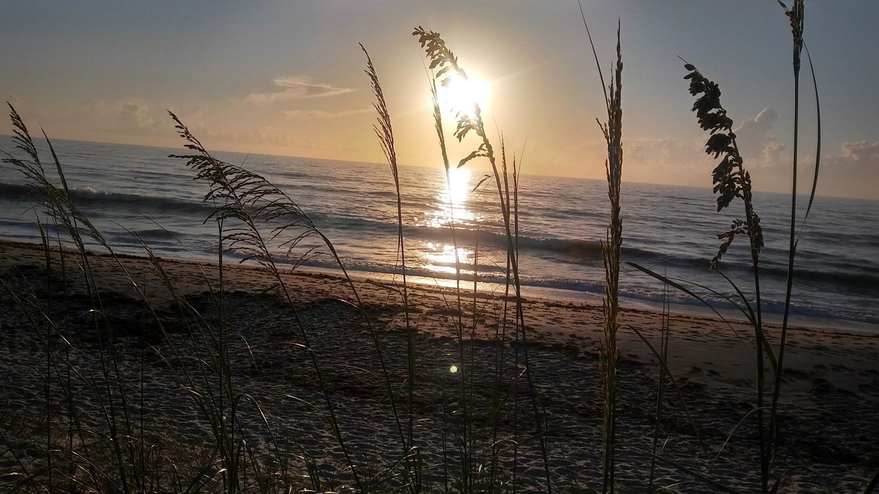
Beach and Surf Forecast
The ultraviolet index will remain extreme, so under 10 minutes to get a good burn started.
As far as surfing, conditions look poor this week with a small trade swell and wave heights of only one to two feet. Sea surface temperatures are steady and rather refreshing in the upper 70s to around 80.

We want your pictures!
Show us what the weather looks like in your neighborhood. Your photo could end up on Spectrum News 13.
- Get the Spectrum News 13 app for iOS or Android
- Tap "Submit Content" at the bottom of the app menu
- Remember to include your name and location