


ORLANDO, Fla. — We woke up Tuesday morning to some thick fog in parts of Central Florida.
- Wednesday's highs at 89 degrees
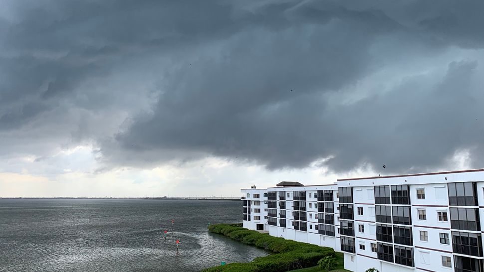
- Send us your weather photos via the Spectrum News 13 app
- CURRENT CONDITIONS: Temperatures, heat indexes, trends
- SEE BELOW: See our 7-day forecast ▼
Once the fog burned off, the rest of the day held mostly sunny skies and temperatures around 90 degrees
There were a few spotty showers that developed over our southern counties, but most stayed dry. A similar forecast is in store for Wednesday before rain chances increase for the end of the week.
Mostly clear skies are in the forecast through the overnight hours. Temperatures will be mild, falling only into the upper 60s to low 70s. Areas of patchy fog will be possible in locations where wind is lighter, mainly inland.
- View LIVE Interactive StormTracker 13 Radar Map
- View our LIVE Sky 13 Weather Cameras
- Sign up for Severe Weather Alerts
Lots of sunshine returns for Wednesday with temperatures quickly climbing into the mid to upper 80s. A few locations may reach 90 degrees. It will be another mainly dry day with only a slim possibility for a developing shower.
Rain chances will pick up slightly Thursday and we’ll keep a small chance for afternoon storms heading into Mother’s Day weekend. Temperatures stay around 90 degrees.
It will stay hot for the start of next week. Highs will be in the upper 80s and lower 90s on Monday and next Tuesday. The 20 percent coverage of rain will continue on Tuesday.
Beach and surf forecast
Wednesday will be a great weather day for a beach trip, but there are some concerns to keep in mind.
Offshore storms will be possible, along with a moderate chop as winds remain breezy. There will also be an elevated rip current threat.

We want your pictures!
Show us what the weather looks like in your neighborhood. Your photo could end up on Spectrum News 13.
- Get the Spectrum News 13 app for iOS or Android
- Tap "Submit Content" at the bottom of the app menu
- Remember to include your name and location