


ORLANDO, Fla. — We’ve followed up a wonderful weekend weather-wise with a magnificent Monday, as we warmed close to average highs.
- Nice weather to continue into this evening
- Cold front moving into area in a couple of days
- Send us your weather photos via the Spectrum News 13 app
- CURRENT CONDITIONS: Temperatures, heat indexes, trends
- SEE BELOW: See our 7-day forecast ▼
High pressure drifting out over the Atlantic brought our wind around from the south to southwest Monday afternoon, and allowed temps to warm back into the upper 70s and lower 80s.
You’ve probably noticed a more humid feel to the air as well, with atmospheric moisture on the increase and dew points back into the 60s. This moisture will eventually be squeezed out by a cold front dropping into the state late Tuesday.
Ahead of the front, we’ll enjoy another mostly sunny day with highs into the upper 70s to lower 80s. As the sea breeze develops late in the afternoon, there is a slight chance it may pop an isolated shower.
- View LIVE Interactive StormTracker 13 Radar Map
- View our LIVE Sky 13 Weather Cameras
- Sign up for Severe Weather Alerts
Rain coverage increases to around 50 to 60 percent Tuesday night into Wednesday courtesy of the front and an area of low pressure developing along it. Rain wraps up Wednesday afternoon with our wind cranking up and gusting over 20 to 25 mph.
Under a partly sunny sky, Wednesday’s highs will struggle into the upper 60s to low 70s. We’re back into the mid-70s under a sunny sky Thursday, then upper 70s to low 80s with more sun Friday through the upcoming weekend.
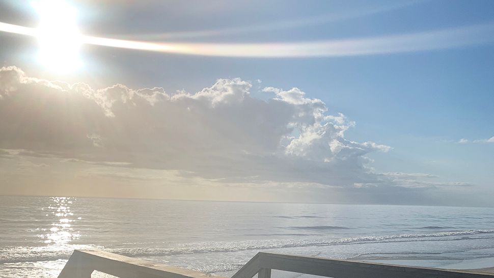
Beach and surf forecast
Low wave heights of one to two feet with minor surf will create a very poor day for anyone hoping to catch some waves Tuesday.
If you’re planning beach time on Wednesday, an area of low pressure to our north will bring scattered showers and strong wind. Unfortunately, our rip current threat will increase to high with large, dangerous surf expected.

We want your pictures!
Show us what the weather looks like in your neighborhood. Your photo could end up on Spectrum News 13.
- Get the Spectrum News 13 app for iOS or Android
- Tap "Submit Content" at the bottom of the app menu
- Remember to include your name and location