


ORLANDO, Fla. — After another abnormally warm day that led to record breaking temperatures in Melbourne, cooler air will return for Wednesday behind a cold front.
- Melbourne breaks record high set just 1 year ago
- Cooler air to return Wednesday
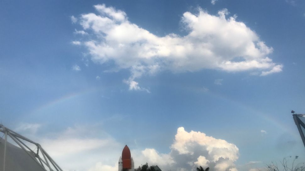
- Send us your weather photos via the Spectrum News 13 app
- CURRENT CONDITIONS: Temperatures, heat indexes, trends
- SEE BELOW: See our 7-day forecast ▼
We started out our Tuesday sunny and warm as temperatures quickly climbed into the mid to low 80s. Melbourne actually broke its old record of 87 degrees by reaching 88 degrees.
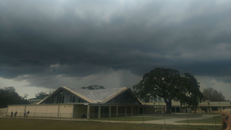
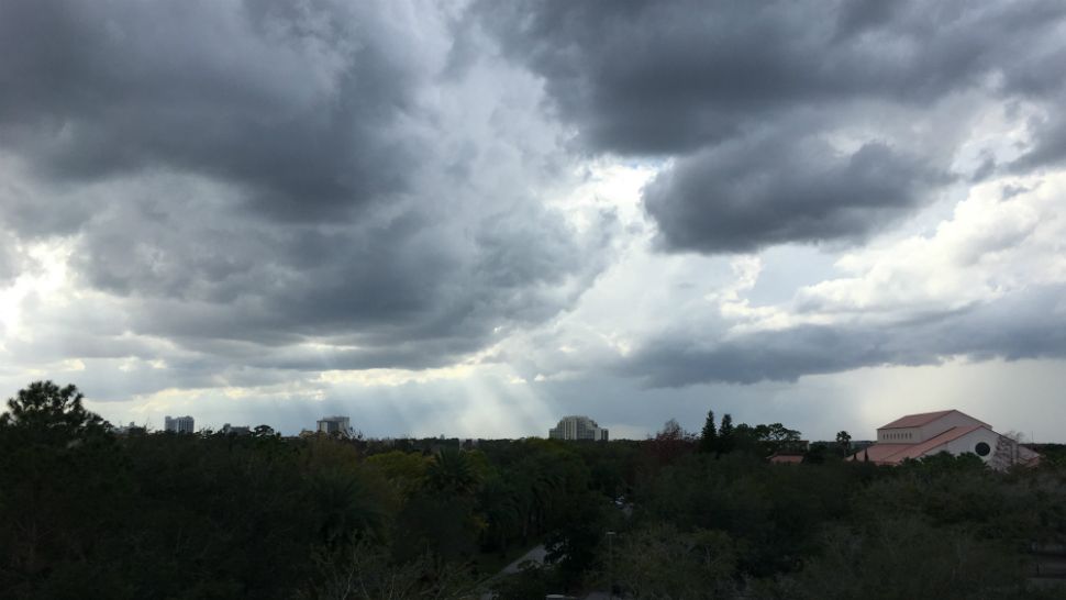
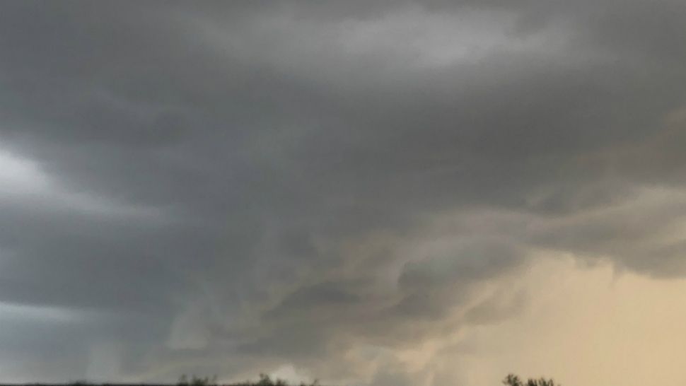
Showers and a few storms began developing during the afternoon as a cold front moved closer to Central Florida. This front will keep rain around through early Wednesday, then clearing out and cooling down for the afternoon.
Cloudy skies will continue through the overnight hours, along with the chance for rain and a few storms. Some of the storms could hold some gusty wind and heavy rain. Temperatures will stay mild, only dropping to around 60 degrees.
- View LIVE Interactive StormTracker 13 Radar Map
- View our LIVE Sky 13 Weather Cameras
- Sign up for Severe Weather Alerts
Showers will be possible Wednesday morning, but will begin to clear out during the afternoon as the front moves south. Our high temperatures for the day will occur early and only reach the mid to low 60s.
As breezy winds switch to the north in the afternoon, these numbers will begin to drop. Lows Wednesday night will be down in the 40s. This cool down will be brief. We’re already back in the mid-70s by Valentine’s Day as sunshine returns.
SURF FORECAST
Ocean conditions will be rough Wednesday and a Small Craft Advisory has been issued.

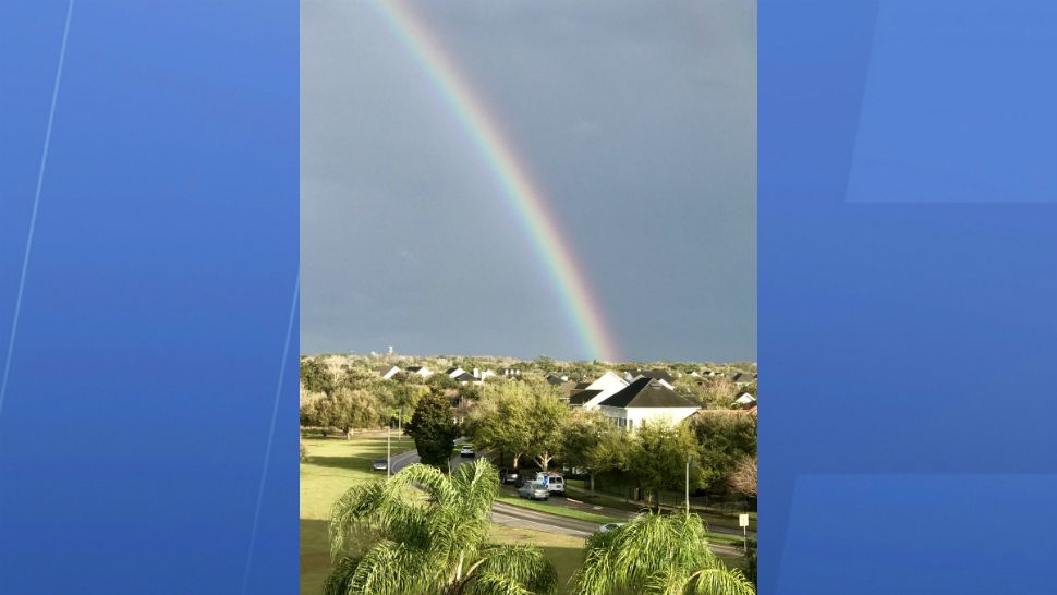
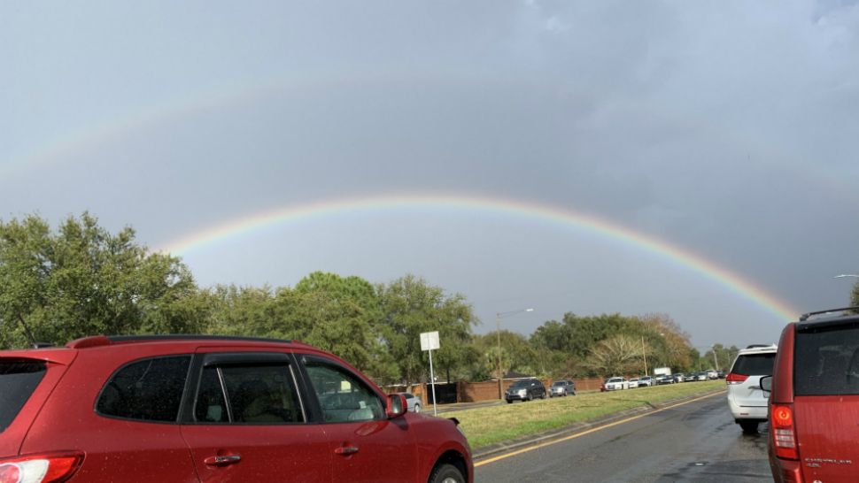
We want your pictures!
Show us what the weather looks like in your neighborhood. Your photo could end up on Spectrum News 13.
- Get the Spectrum News 13 app for iOS or Android
- Tap "Submit Content" at the bottom of the app menu
- Remember to include your name and location