


ORLANDO, Fla. —. A few clouds will remain this evening, as temps only fall into the 70s. The clouds will thicken overnight and some patchy fog is also likely, with morning lows in the mid 60s.
- Overnight patchy fog possible
- Sunday to be largely dry, temps in low 80s
- Cold front on track for Monday
- CURRENT CONDITIONS: Temperatures, heat indexes, trends
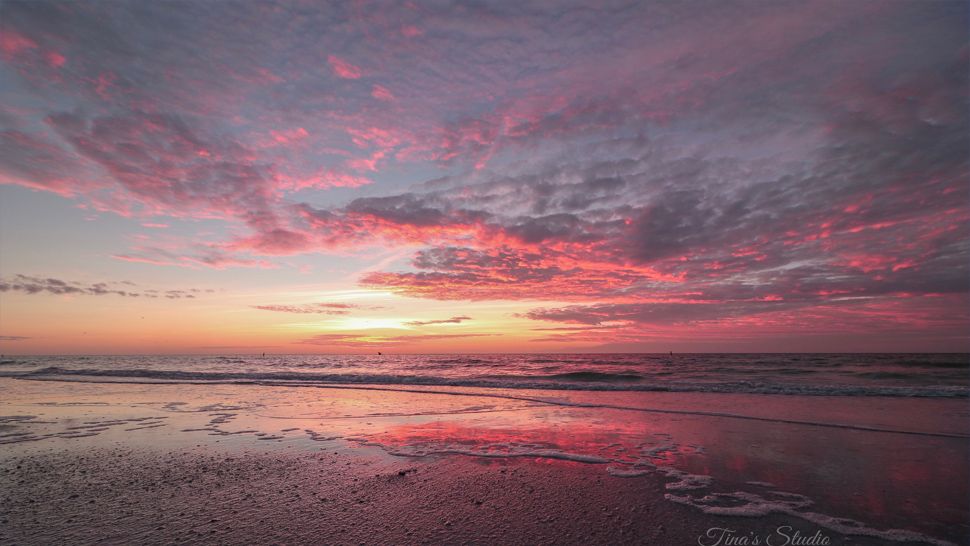
More great weather is ahead for the travel day Sunday. We’ll see dry conditions with partly cloudy skies and warm temperatures. Highs to close the holiday weekend will be in the low 80s.
Boaters will finally have a good day for boating Sunday, with seas 3-4 feet and light westerly winds. Surfers will also have fair conditions, with an easing easterly swell.
The rip current threat is moderate to close the holiday weekend, with Atlantic water temps in the low to mid 70s.
A cold front is still on track to impact the area on Monday. This will produce more clouds and scattered showers. Highs for Monday will be in the low 80s.
- TRACKING THE TROPICS: Formation potentials, Atlantic and Gulf satellite loops, typical storm tracks per month
- SEE BELOW: See our 7-day forecast ▼
Much cooler air is expected behind the front Tuesday. Some morning rain showers will be possible, with highs struggling to make it to the mid and upper 60s. Overnight lows Tuesday night will fall all the way into the 40s.
The cool temps will remain in place for midweek, with highs Wednesday and Thursday in the 60s and low 70s under mostly sunny skies.
We do start a slow warming trend Friday into Saturday, with temps back in the upper 70s to low 80s.
Tropical Update:
We continue to watch a large storm system east of the Bahamas. The system will move into the open Atlantic, but has a very low chance of development.
The Atlantic hurricane season concludes on Friday.

We want your pictures!
Show us what the weather looks like in your neighborhood. Your photo could end up on Spectrum News 13.
- Get the Spectrum News 13 app for iOS or Android
- Tap "Submit Content" at the bottom of the app menu
- Remember to include your name and location