


ORLANDO, Fla. — Near record warmth and increasing rain chances will be the big weather story for Central Florida for the first half of this week.
- Moisture will make it feel like low 90s or higher
- Cooler temperatures coming later this week
- CURRENT CONDITIONS: Temperatures, heat indexes, trends
- TRACKING THE TROPICS: Formation potentials, Atlantic and Gulf satellite loops, typical storm tracks per month
- SEE BELOW: See our 7-day forecast ▼
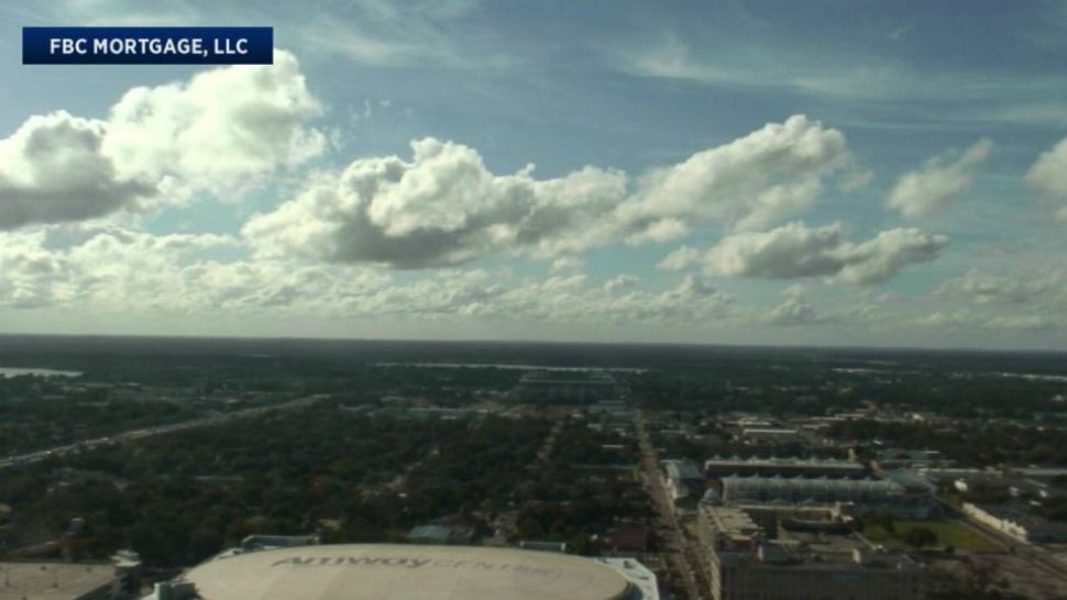
A warm front continues to move to the north through Florida. This warm front is acting as a trigger for showers and a few thunderstorms.
Our winds behind the warm front will be out of the south and southeast on Tuesday and Wednesday. This wind direction is a warm and humid type of flow for central Florida, which means the summer-like feel will also stick around for a few more days.
Orlando, Daytona Beach, Sanford and Melbourne will all be flirting with record high temperatures on Tuesday. Temperatures in the morning will start out in the upper 60s and lower 70s before reaching the mid to upper-80s for the afternoon.
Temperatures will stay unseasonably warm for Wednesday ahead of the cold front that will arrive early Thursday morning. Temperatures on Wednesday will be in the low to mid-80s.
The cold front will spark scattered rain and maybe a few thunderstorms for the Thursday morning commute into work and school. Temperatures will start off warm on Thursday before falling back into the 70s by Thursday afternoon.
- View LIVE Interactive StormTracker 13 Radar Map
- View our LIVE Sky 13 Weather Cameras
- Sign up for Severe Weather Alerts
Sharply cooler temperatures will greet you stepping out the door on Friday. Morning temperatures will be in the low 50s for most neighborhoods with a few spots to the north of Orlando, such as Ocala, dipping back into the 40s.
The cooler weather and lower humidity will stick around for the weekend. Afternoon temperatures for both Saturday and Sunday will be in the low to mid-70s with morning temperatures in the 50s.
Finally, the long awaited Florida Fall weather is upon us.
Surfing conditions on Tuesday will be poor with an east-northeast swell mixing with east-southeast swell. Wave heights will be 3 to 4 plus feet with a high rip current risk. So that means it is best to swim within sight of a lifeguard and to use extreme caution when entering into the waters.
Water temperatures are in the mid-70s and the UV index is at 6. There will be chance at rain and maybe few thunderstorms for Tuesday afternoon.
If you plan to go out boating expect seas of 3 to 5 feet with a chance of rain and a few thunderstorms. A small craft advisory runs until 10 am on Tuesday. The winds will be out of the south at 10-15 knots.
Tropical Update
Tropical season is not finished yet and we could see a tropical system develop with the name Patty over the next 24 to 48 hours. A tropical wave 200 miles east of the Leeward Islands is moving to the west-northwest. Right now, it is encountering a lot of wind shear. But, as it continues to move to the west there will be a window of opportunity for it to develop into a tropical system.
This system will not pose a threat to Florida or the U.S. East Coast. Our strong cold front that will sweep through on Thursday will keep it away from Florida and push it back eastward into the open waters of the Atlantic where it will dissipate.
Atlantic hurricane season runs through November 30.

We want your pictures!
Show us what the weather looks like in your neighborhood. Your photo could end up on Spectrum News 13.
- Get the Spectrum News 13 app for iOS or Android
- Tap "Submit Content" at the bottom of the app menu
- Remember to include your name and location